Hike: I can hardly call this a hike, but we did a short walk up to the highest point in Kentucky, Black Mountain, which stands at 4,145 feet above sea level. Located just across the border of Virginia, this involved a very bumpy ride up an old dirt road. In my opinion, this gets the award for “Most Underwhelming Highpoint” (beating out Maryland from November)
Goal: The goal was just to get it done–highpoint #13 for us–and not spend too much time doing it. I suppose a secondary goal was to keep the undercarriage of my van intact (due to the rutted road).
Gear: I wore the same clothes as yesterday’s trip to Mount Rogers, minus one layer, and this was so short, the only thing I carried was my camera.
Weather: Sunny yet chilly.
Pre-Hike: It took about 3 hours to drive to Black Mountain from Grayson Highlands, VA. We took 1-81 for part of it, and some back roads for the rest. We didn’t have cell signal, as predicted, for a good portion of the drive, so I was glad I printed out close-up maps. I knew we were close when we drove through the tiny coal town of Appalachia, VA. Then we took KY-160 (Inman Road) to Black Mountain Ridge Road, parking at the base of the “mountain.”

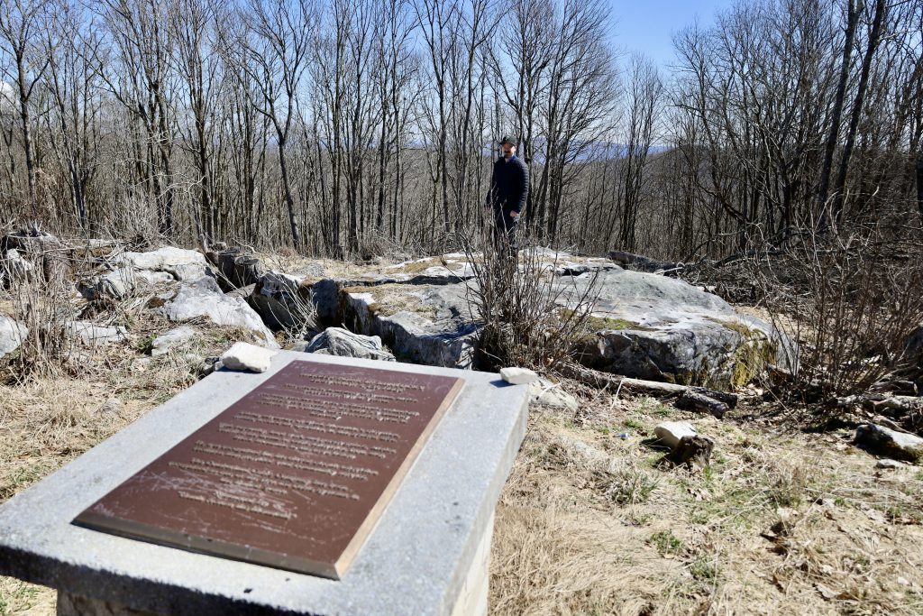
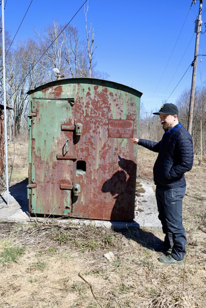
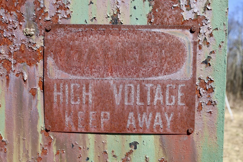
Hike: I believe this takes the record for shortest highpoint hike for us (other short ones were SC, PA, and WV). Joel likes to have a decent hike prior to reaching the top–and I agree–but in many cases, these are drive-up highpoints. In this case, it took us all of 2 minutes to walk up. Other than radio towers and a few small, antiquated buildings, there’s not much to see.

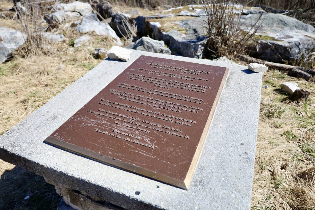
We found the plaque…
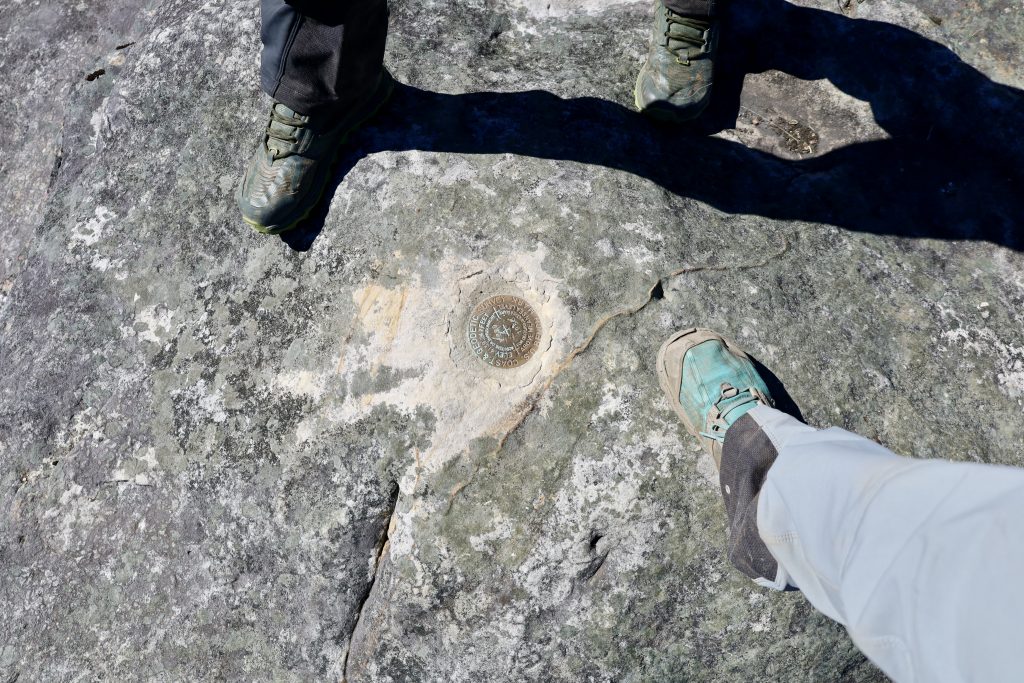
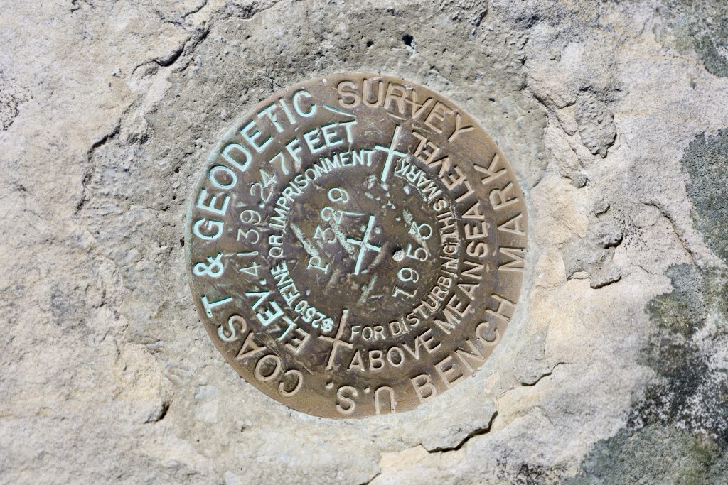
…and the survey marker.
We took our highpoint selfie:

Wandered a bit, looking at the random stuff up there…
And that was that!
We also walked down to the signs on the main road, as this was a new state for Joel–he wanted to show he was in Kentucky.

And I loved the authentic bullet hole in the highpoint sign, by the letter “n” in Mountain 😛

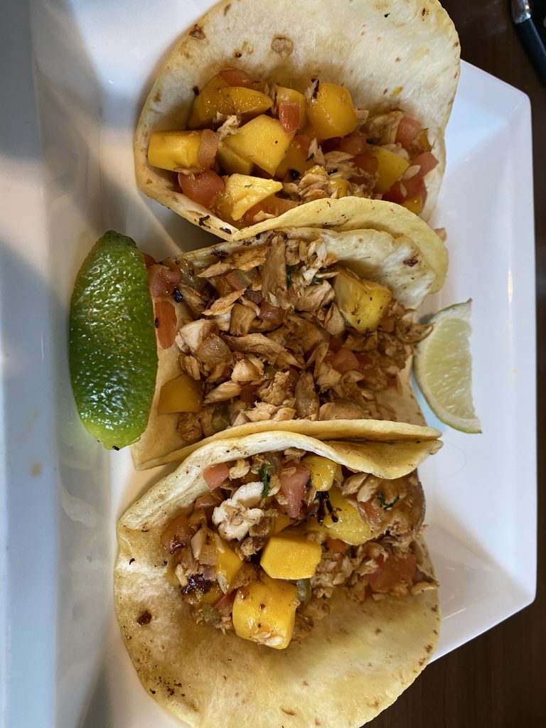
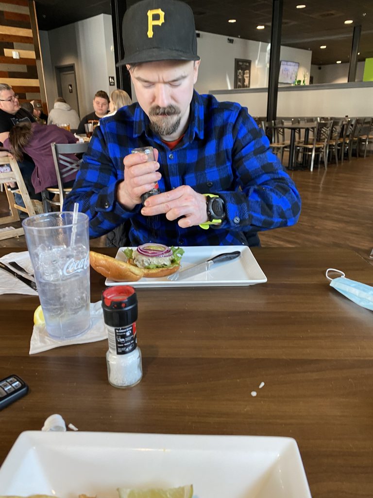
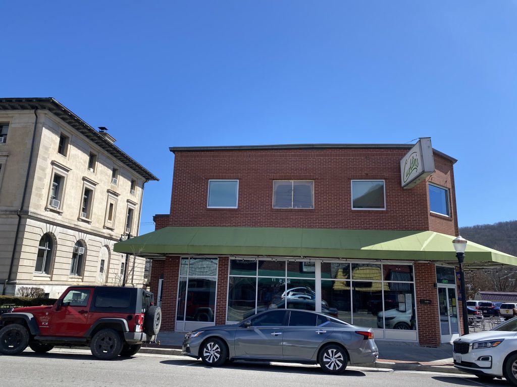
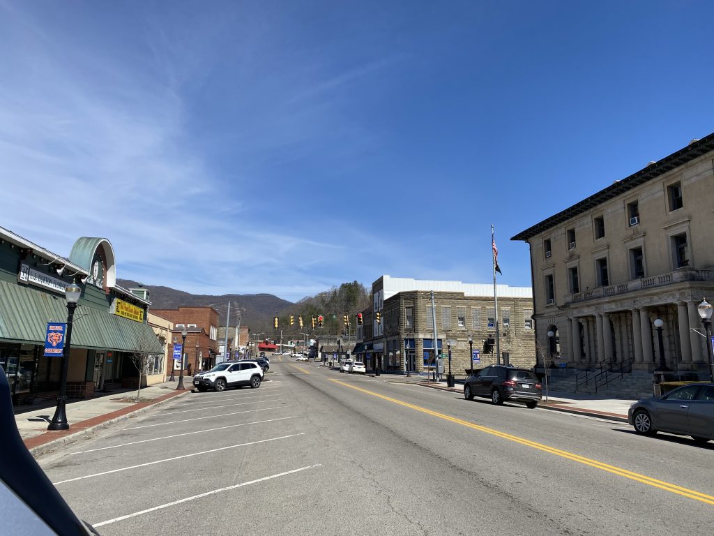
Post-Hike: We drove 30 minutes to another coal town, Big Stone Gap, VA. We ate lunch at Curklin’s, which was very good (or I was very hungry… or both 🙂 haha)
Then we filled up the gas tank, and headed to Devil’s Bathtub, less than 1 hour away.
Recommend: Definitely not, unless you’re highpointing. Not much to see here, and took awhile to drive to. See my note about being underwhelming, above.
Maps:


Up Next: Mount Rainier in May!
Leave a Reply