Hike: On 11/9/2020, we hiked to the highest point in the state of Maryland.
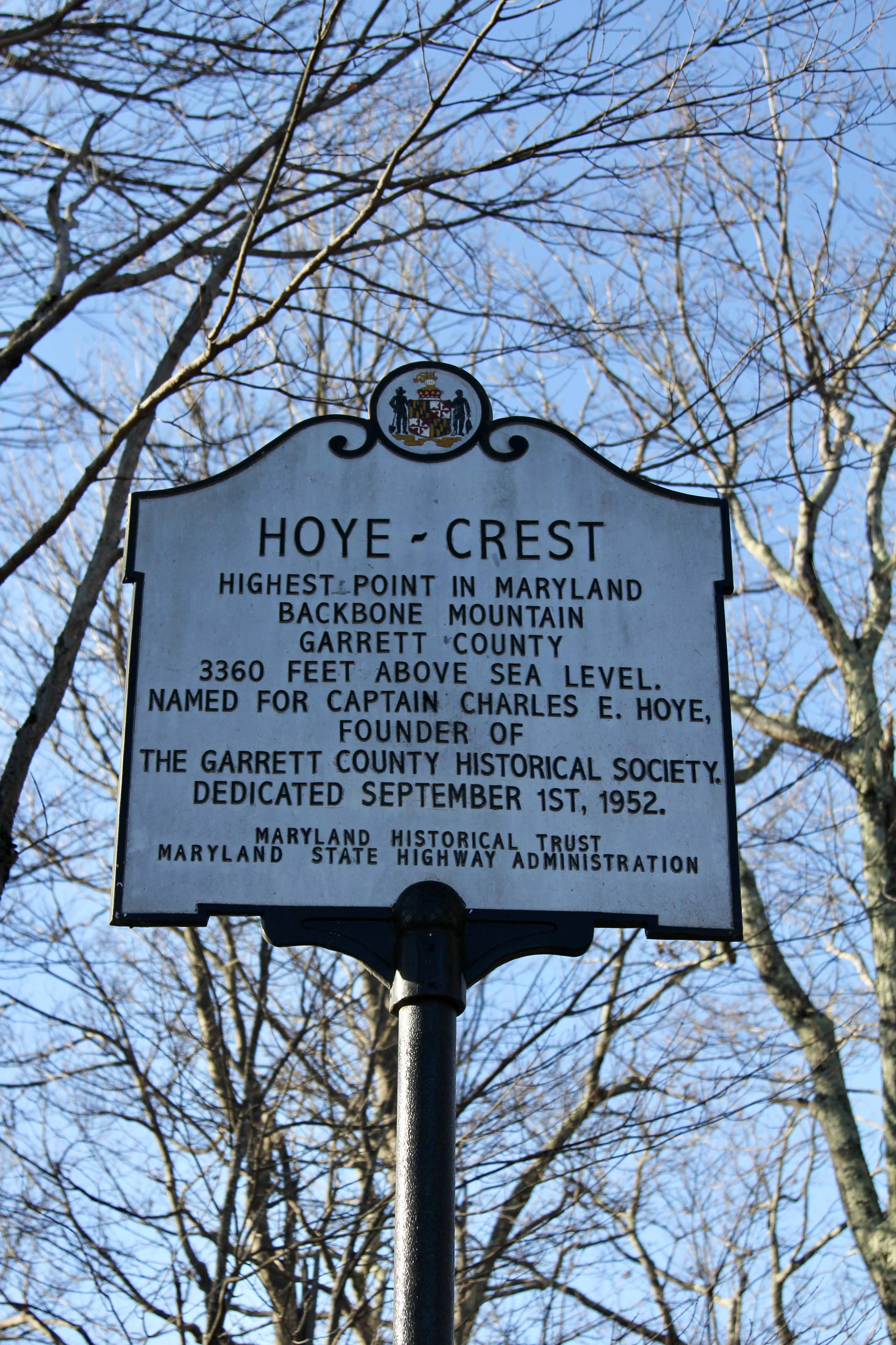
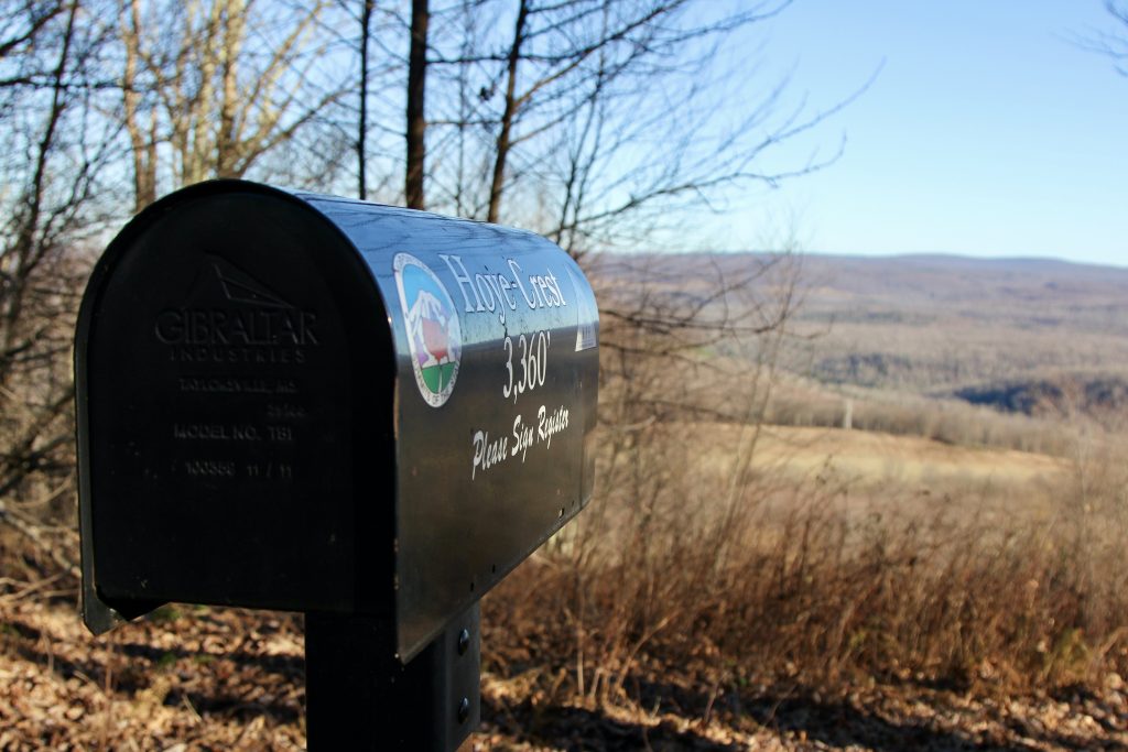
The “Hoye-Crest is a summit along Backbone Mountain just inside of Garrett County, Maryland. It is the highest natural point in Maryland at an elevation of 3,360 feet.” (Wikipedia) On the list of the 50 states highpoints, this is #32 in elevation, just above Pennsylvania, which we hiked the next day, and behind Massachusetts.
Spoiler: This one gets the award for “Most Underwhelming but had to work for” 🙂

Goal: Bag highpoint #9 and get to our campsite (30 min up the road from there) in time to set up before dark.
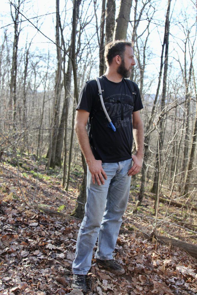
Gear: A very warm day in November, this only warranted shorts and a T-shirt for the 2 mile round trip. I threw on my daypack with water and my camera, and used my trekking poles.
Weather: 68° and sunny
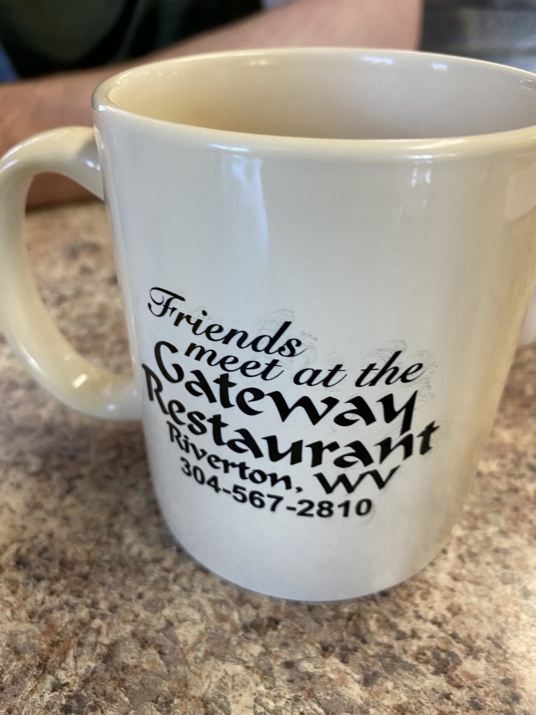
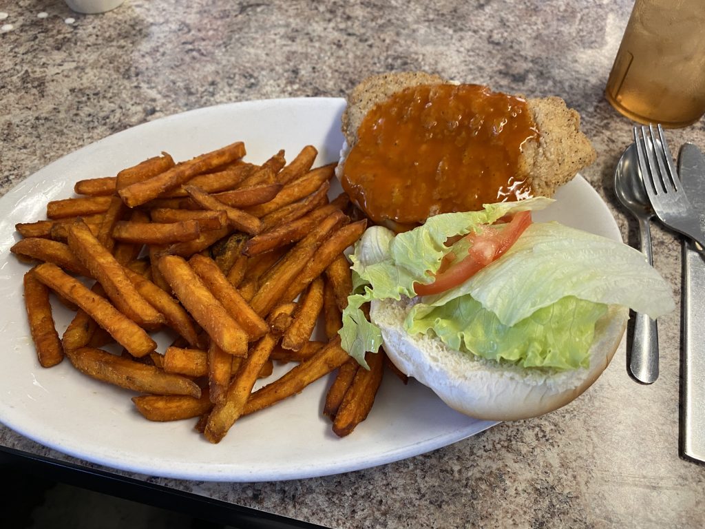
Pre-Hike: Still riding the high from that morning’s Via Ferrata climb, we drove a few minutes up the road to have lunch at the same restaurant where we met yesterday (Gateway). This time, instead of ordering just sandwiches and chips, our climber hunger (similar to hiker hunger) had kicked in: we ordered hot sandwiches (buffalo chicken for me & Matt, ham & cheese for Joel?) plus fries, plus an appetizer AND dessert.
While we waited for the food, I used their restroom to change out of my hot, sweaty clothes and give myself a “bath” (baby wipes). I felt 100 times better after that!
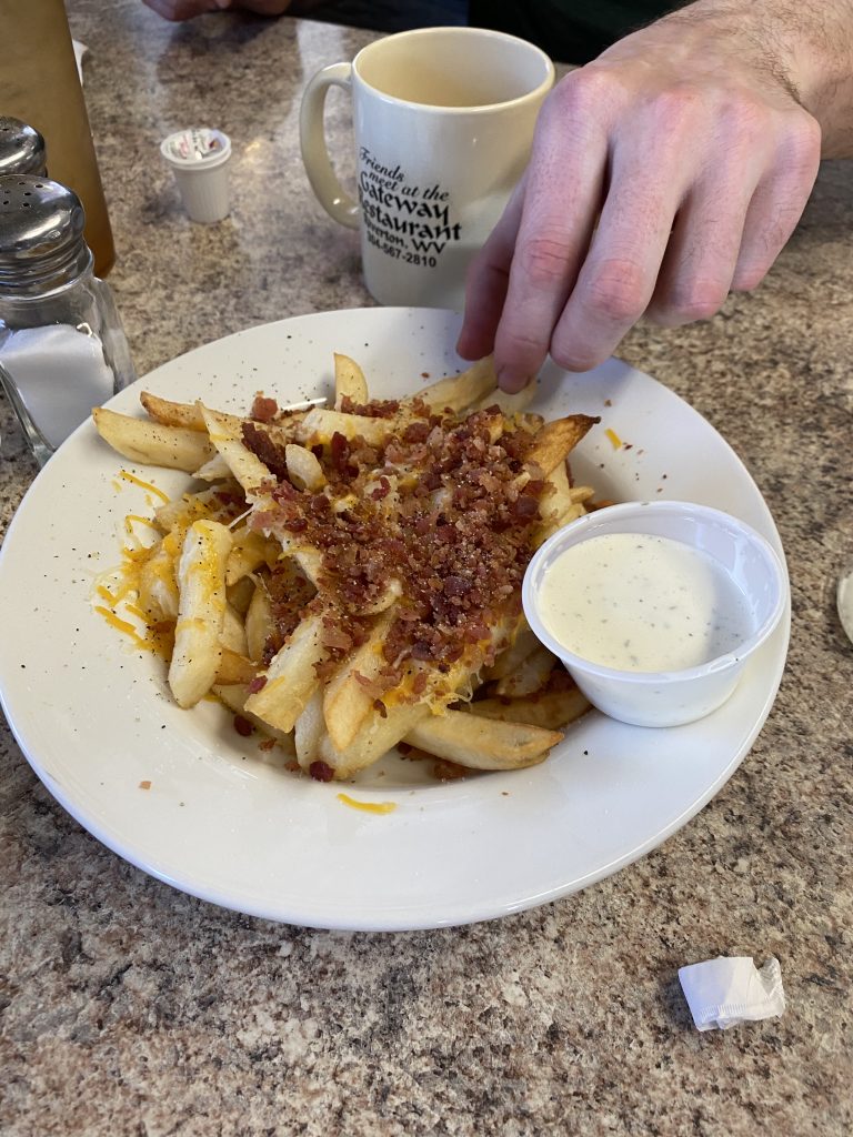
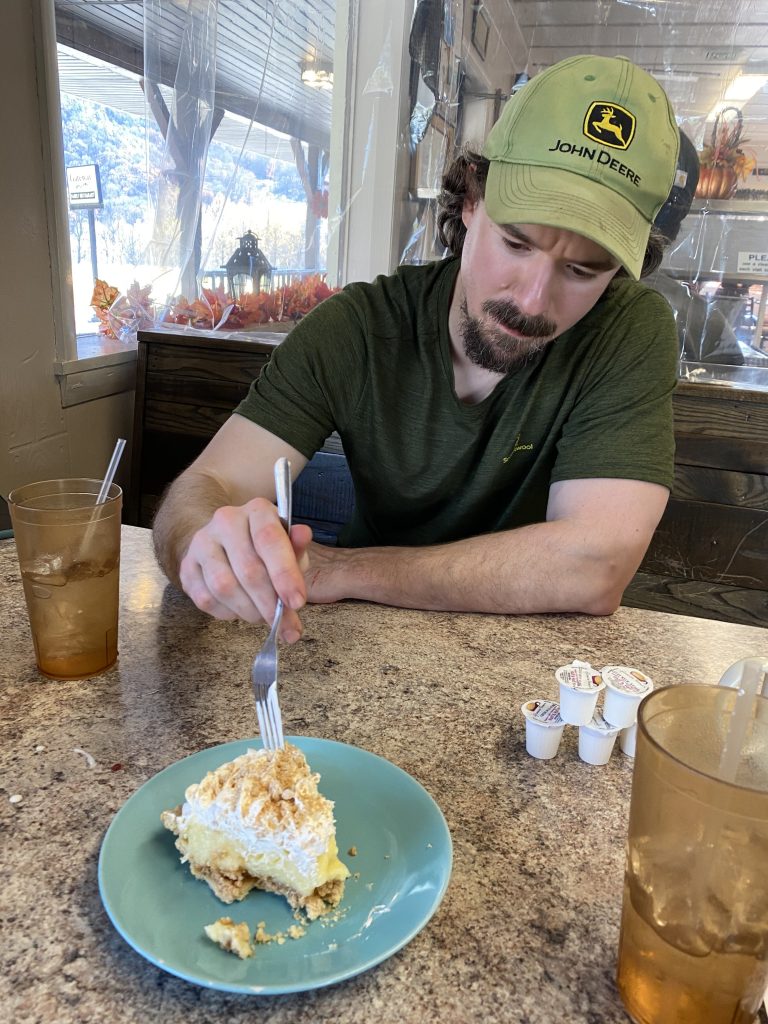
We made all the food disappear in record time, then hit the road.
With full bellies and a feeling of accomplishment, having camped out without incident and without freezing AND climbed hundreds of feet up quartzite outcrops, we barreled up the road (literally, the way Joel drives, barreled is the correct word!) to Maryland.
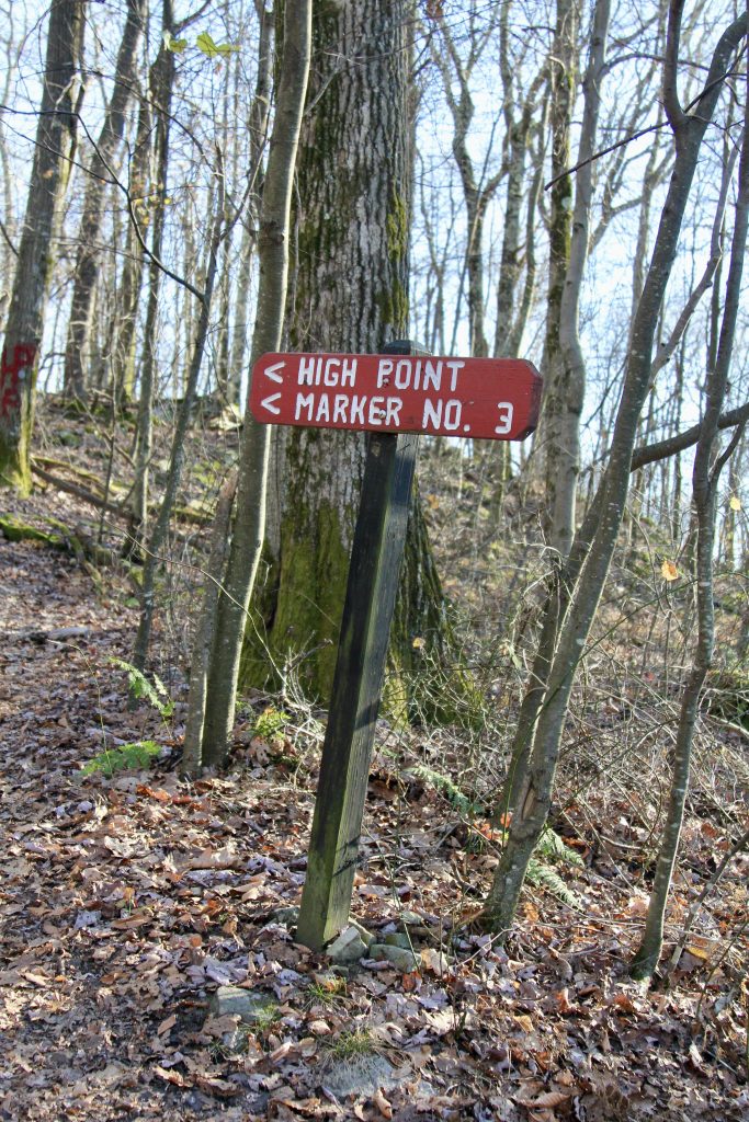
About an hour later, still barreling up the road, I knew we were getting close. I noticed some parked cars on the opposite side of the road, and a very small sign that read:
Maryland High Point –>

Oops. Joel just flew past it!
I couldn’t call the boys since–shocker!–there was no cell signal. Instead, I tried slowing down (didn’t work–he just kept going), rolling down my window and waving (he didn’t see), flashing my high beams (he didn’t notice), and finally, exasperated, pulling over in a parking lot, which also didn’t work. We were a good 5 minutes further up the road when I finally got a bar and was able to call them to say we passed it. We turned around, and they followed me back to the side-of-road parking area, where there was 1 car already parked.
We quickly gathered our daypacks, and I brought my trekking poles along just in case–I didn’t have any issues with my hip/leg during the morning’s climb, but I wanted to play it safe. It was definitely the right decision.
Hike: As we headed up the trail, we met a fellow hiker, Steve from Arlington, who was also headed to the Maryland highpoint. The boys struck up a conversation with him, and I struggled to keep up–they were really stepping it out, and I was not prepared for such a brisk pace. I had zero time or energy to even snap of pic of the area for the first portion of our hike.
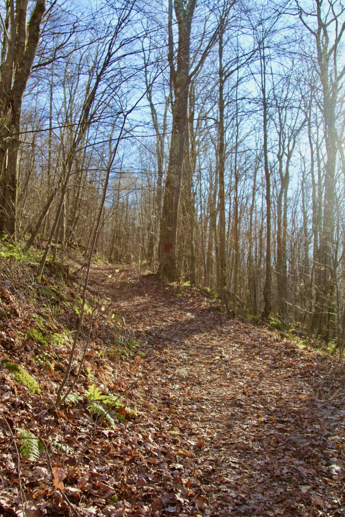
The trail quickly turned into a muddy logging road, with huge ruts. Steve chose to walk the middle of the rut, while my brothers chose to go up the bank and around. I followed the bros, which was not fun–they had pants on, but I had changed into shorts, making it painful to walk through the prickers. Not only was I tired and winded straightaway, but my legs were getting scratched! And we had just started out.
Whew… this “little” 2 mile hike might be way harder than I anticipated.
And it was. I knew it had 700 feet of elevation gain, so basically it was a one mile, semi-steep hill, with muddy ruts to start, and a gravelly, leave-strewn (i.e. slippery) hill to finish.
Thankfully, Matt wanted to take several breathers. I was so glad to not be the only one who needed a break! Steve carried on without us.
We trudged onward, following the red spray-painted “HP” (highpoint) on the trees.

At some point, we crossed from West Virginia (where we had parked) to Maryland.
A minute or two further, we made it to the top of the hill–which is the Maryland highpoint.

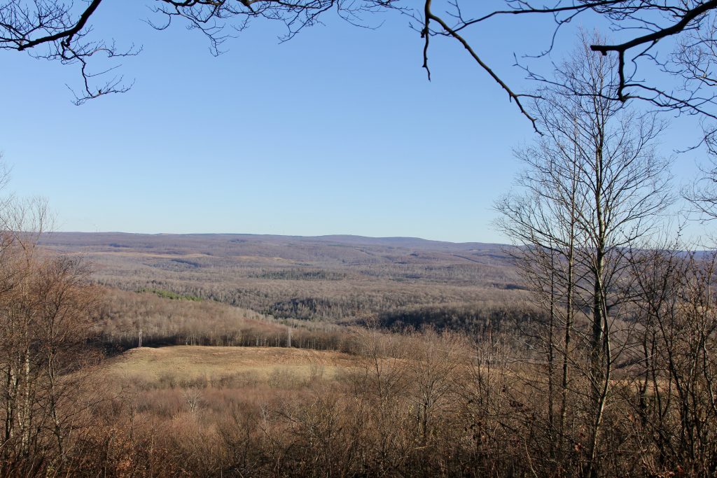
It had a picnic table, sign, a decent view… and that’s it. I know some highpoints will be spectacular and others merely “meh”–this one fits into that latter category. I’m sure there will be others!
But, we got highpoint #10 done, AND that means Joel and I are already 20% done with the 50 states’ highpoints. Still uncertain if I’ll go for all 50 (meaning Denali in Alaska) or play it safe with 49. Actually several are quite difficult–Washington, California, Montana, Idaho, and Wyoming amongst them. Decisions for another day (or year!)
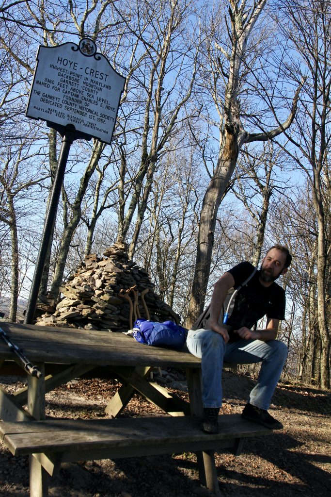
Steve took our photo:

I took a picture for Steve, and told him about the Highpointers Club (which we just joined a month or so ago).
We told him good-bye, and headed back down, having a much better time going down the hill.

Possibly the most “exciting” part of the hike, if you can call it that, came near the end:
In the distance, on the log road, we saw someone jumping back and forth from one end of the huge rut to another. I thought, what is this guy doing?
Turns out, he lost his phone. He thought it was in that area, and his wife was supposed to be calling it. We told him we’d keep an eye out, then kept going.
A few minutes later, nearly back to our cars, and we hear a strange ringing. Joel looked down, and there was the guy’s missing cell phone!
Matt hurried back up the trail yelling “HEY BUDDY!” and I thought, he won’t hear Matt’s shouts, so I got out my whistle.
It gave a little tiny chirp when I blew into it. That’s it?! So I blew harder, and sure enough, and ear-piercing whistle came out this time. Not sure if he heard it, but…
A minute later, the man had his phone back! 🙂
He thanked us profusely. I told him it was in the middle of the trail, covered in leaves, so that’s how he missed it.
Feeling good about finishing the hardest two mile hike I had done in a WHILE, and being of help to a stranger who lost his phone, we settled back in our vehicles for a quick 30 minutes up the road to Deep Creek Lake State Park, where we camped that night.
Post-Hike: We headed up the road about 30 minutes, to a very beautiful area of Maryland–some very lovely homes along the lake!

We arrived at Deep Creek State Park around 4:30ish (I only remember because it looked like the office was closed–thankfully someone was still there). The worker told us that it’s first come, first serve for tent sites, and we pay using the honor system and the envelopes they provided. $25 for a site. We drove the loop and found a good site, not far from the restrooms (hot water!) and a good distance from other campers.
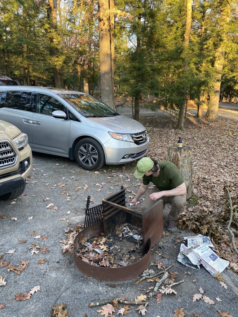
We set to work getting the fire going for dinner, and setting up Matt’s enormous tent, which the 3 of us would share that night.

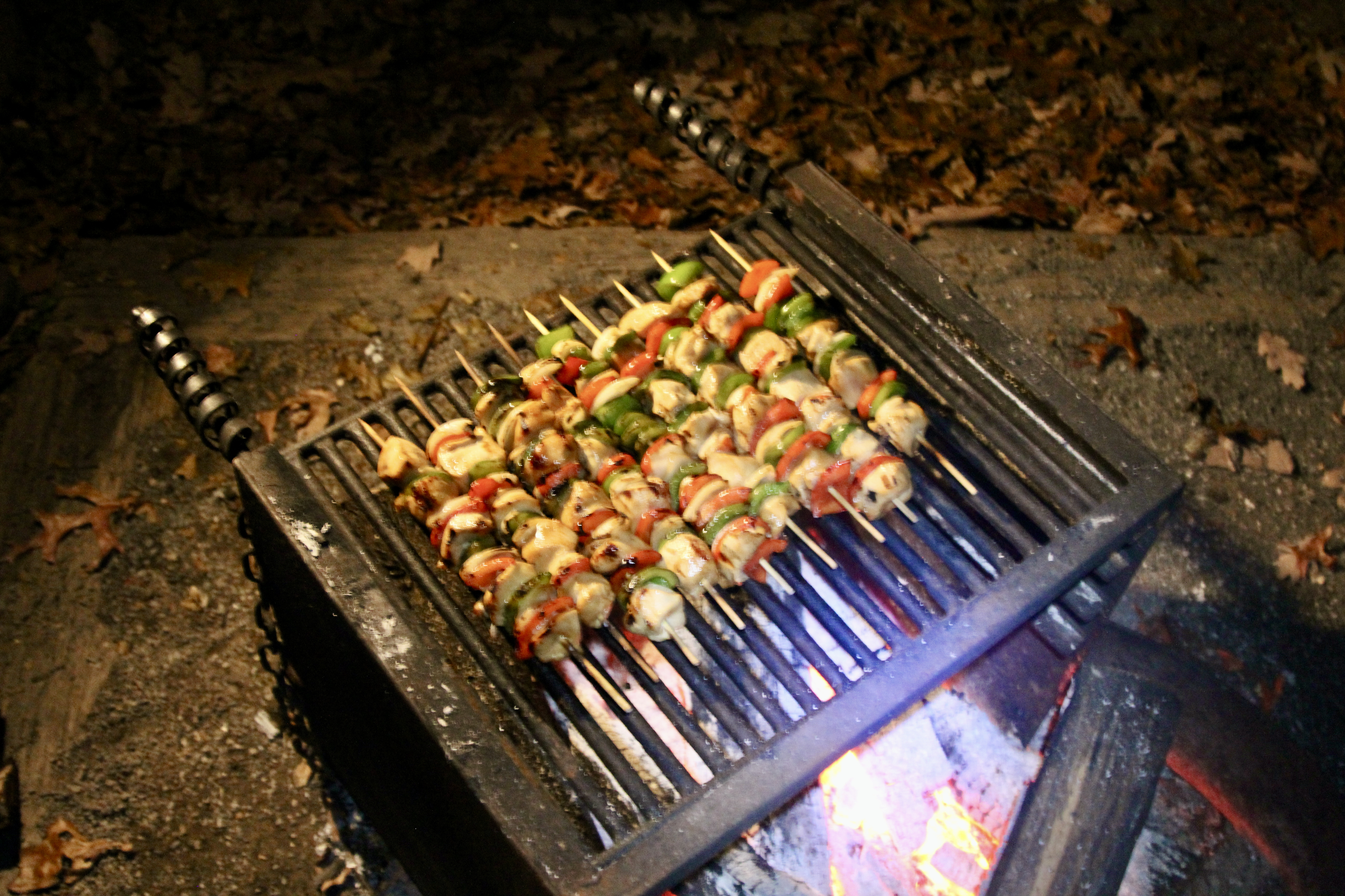
It got dark quickly of course, so we settled in for a slow evening of talking around the fire, and waiting for our marinated chicken and veggies to cook (thanks Matt!)
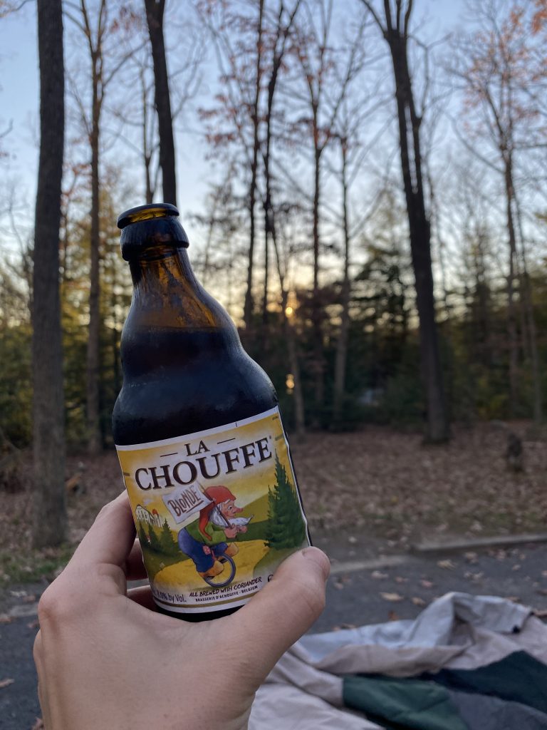
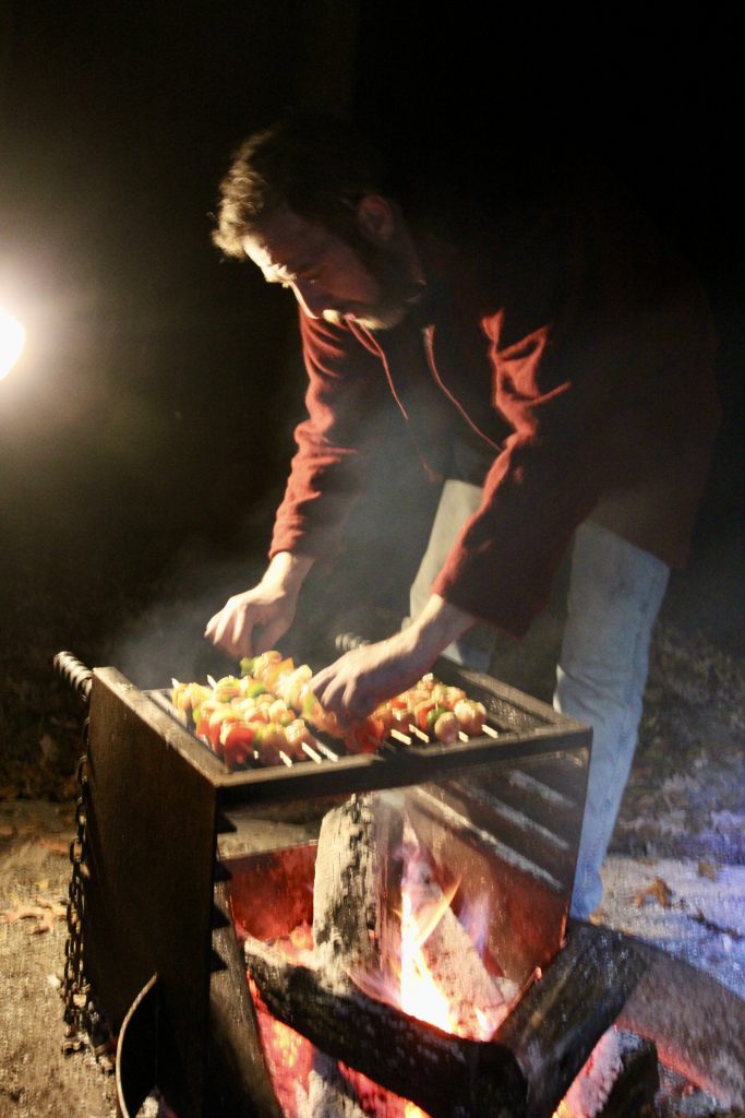
We finally drank the La Chouffe (Belgian beer) that I had intended for our Mount Marcy trip in July (but got left behind by accident).
We chowed down on the chicken + veggie skewers:
I felt wiped, yet very satisfied. It was a good day!
I topped it off with an actual HOT shower in the campground bath house–I hadn’t even brought soap or anything, thinking there wouldn’t be an opportunity for a shower, but it still felt good.
That night I took every precaution, and I didn’t freeze 🙂 I WILL be buying a cold weather sleeping bag soon!
Recommend: Nope. Unless you’re highpointing, this is the first highpoint I can actually say I would not recommend. Between the horrible footing and the less-than-stellar view at the top, this one is worth skipping.
However, I thought Deep Creek Lake was gorgeous, and I would like to return there with the family someday!
Map:

Up Next: Mount Davis, Pennsylvania!

Wonder if the Georgetown Hoyas were named for Captain Charles Hoye?
Hoye Crest – underwhelming yet Maryland’s proud highpoint.
Where were your zip off pants for this two mile beast.
You all must have driven two cars. Hence your separation when you noticed the small sign.
Figuring that you will head back to NC solo upon completion of the PA high point.
Nothing underwhelming about Matt’s marinated chicken skewers.