The day after our first highpointing experience (Mount Mitchell in North Carolina), we woke up early (6?) to get a head start on the day.
If you don’t know what highpointing is, here’s a great article explaining it.
I don’t know exactly when we decided to go for it, but I think it was sometime during this trip, Joel and I decided we would try to climb the highpoint in all 50 States. Let the journey begin…
After packing up my smelly clothes from yesterday’s hike, I slowly hobbled out of the room. I didn’t sleep well (too hot, air was dry, a random phone call woke us at 2 AM) so my body definitely wasn’t anywhere near recovered from the 12 miles and 4,000 feet of elevation we did yesterday. Ooof. Must train better for the next weekend of these! Flashback to the way I felt after the 19 mile day on the PCT.
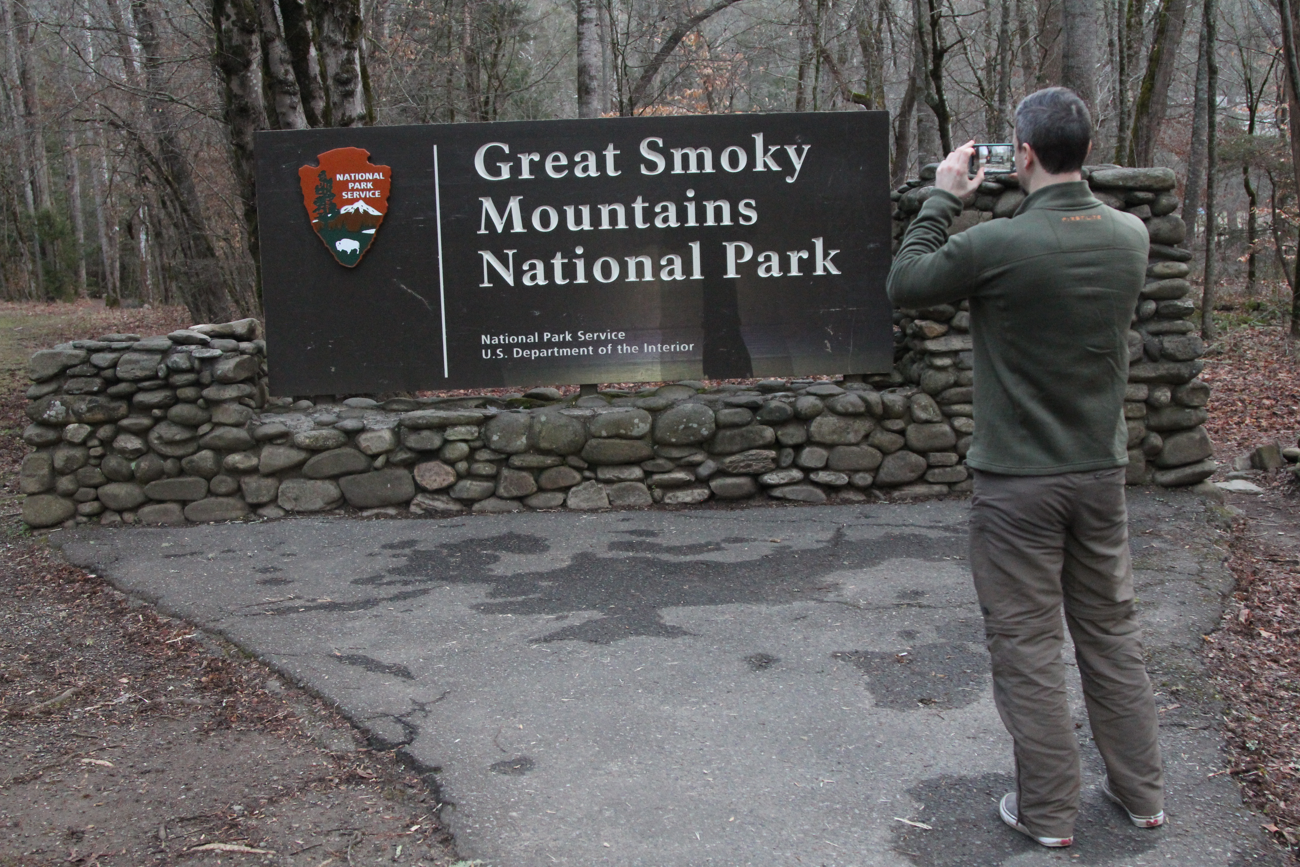
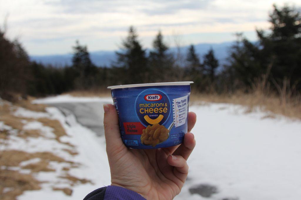
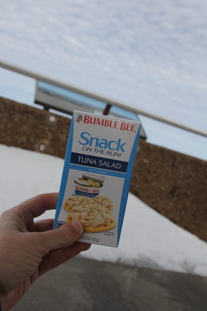
We didn’t have provisions—aka lunch!—so instead of making an extra stop somewhere, we just bought some candy bars and mac & cheese from the lobby of our hotel (the Sheraton). We headed down the highway, I-40 West, and stopped at the first McDonald’s we saw for a quick breakfast. I chowed down by bacon-egg-cheese biscuit as we continued down the road, with a quick call to the boys before they headed off to school, then at the highway split, continued west on route 19 towards Maggie Valley. We passed plenty of Cherokee signs, like the casino, then past the town of Cherokee itself, as we turned north on Route 441 to enter the Great Smoky Mountains National Park.


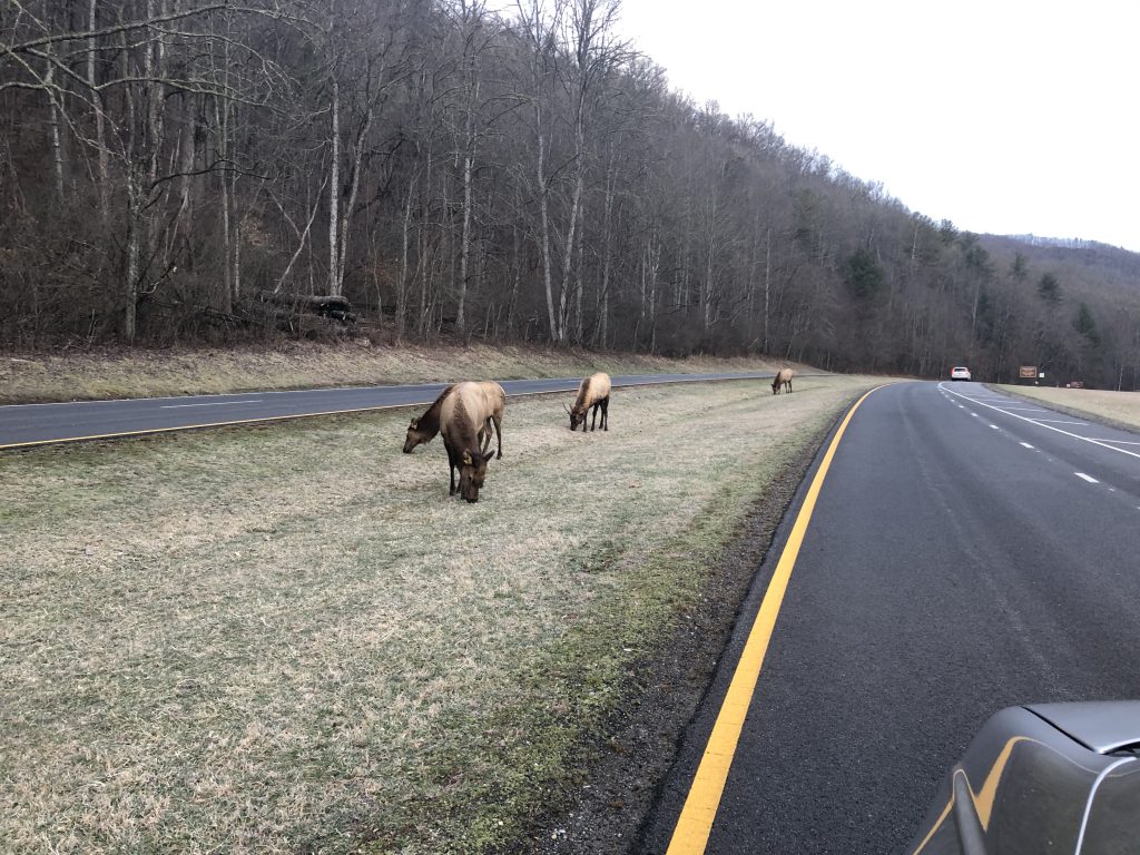
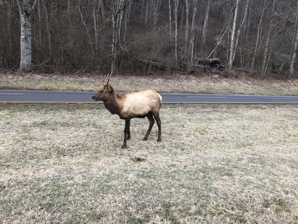
Joel had mentioned the elk that live there, nearly domesticated and unafraid of humans… and very quickly, we came upon them. I was stunned they hung out so close to the road! It gave me a thrill to see them from just a few feet away, smelling their musty stench… but after Joel pointed out the huge bull nearby, I felt a twinge of fear, and kept driving!
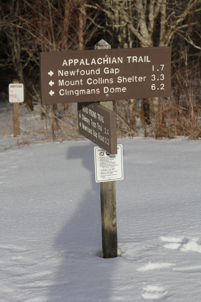
We wound our way up, around, down, and back up, through the mountains until we reached Newfound Gap parking area, maybe 20-30 minutes after entering the park.
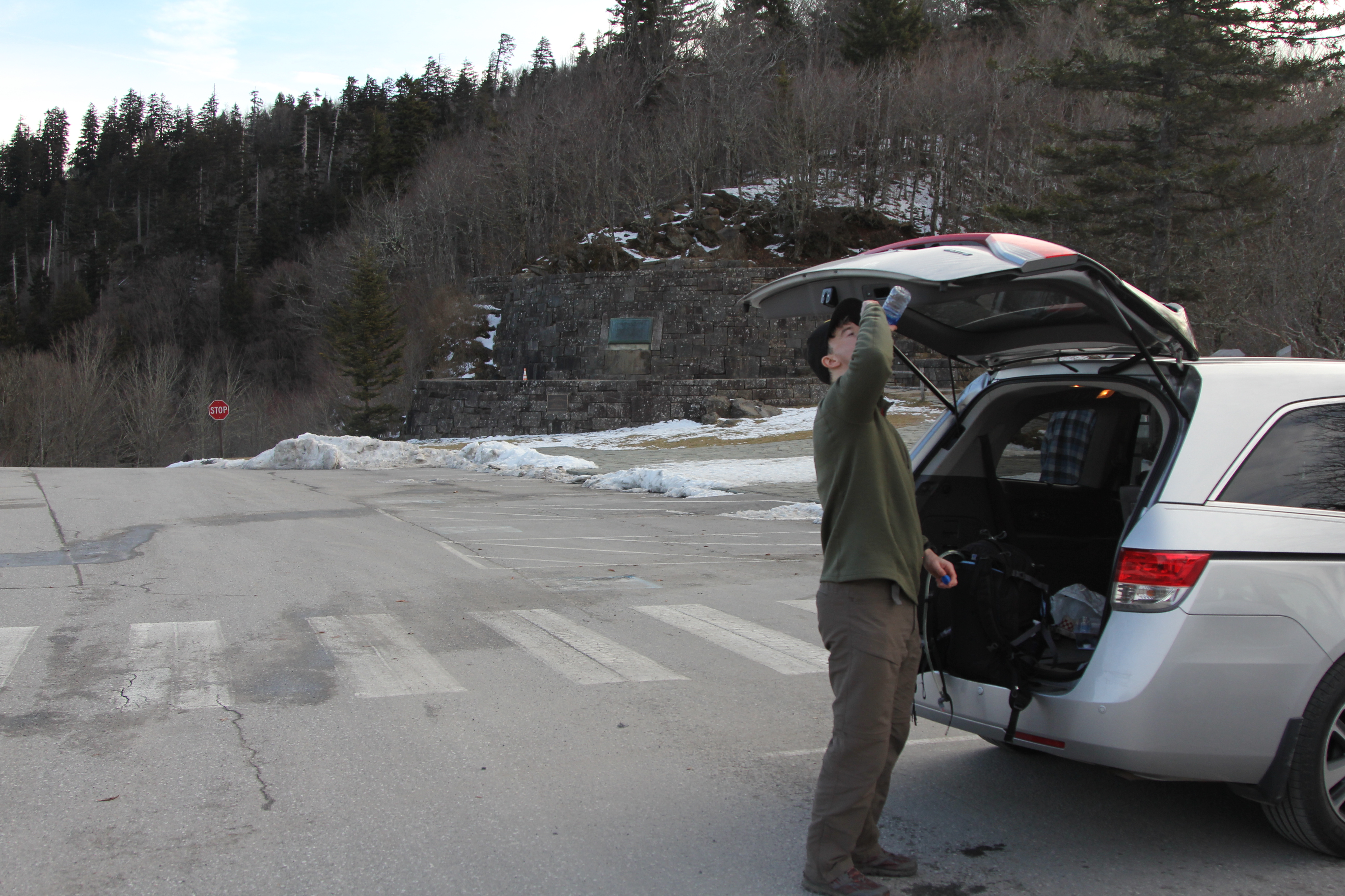
There were a few cars already there, to our surprise. We used the restrooms—thankful to have REAL restrooms, though there weren’t any sinks to wash hands—and got our gear packed and ready.


We were on the state line, so I told Joel he was about to entered Tennessee (a state he’d never been to). We were chatting with some other folks, and I got a few nice quasi-sunrise pics:
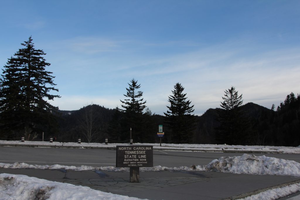
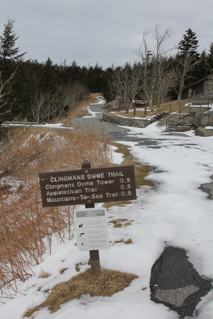
This lady asked us what we were doing, and we said hiking the Appalachian Trail (AT) to Clingman’s Dome. She pointed out the trail to us, across the road, and we thanked her.
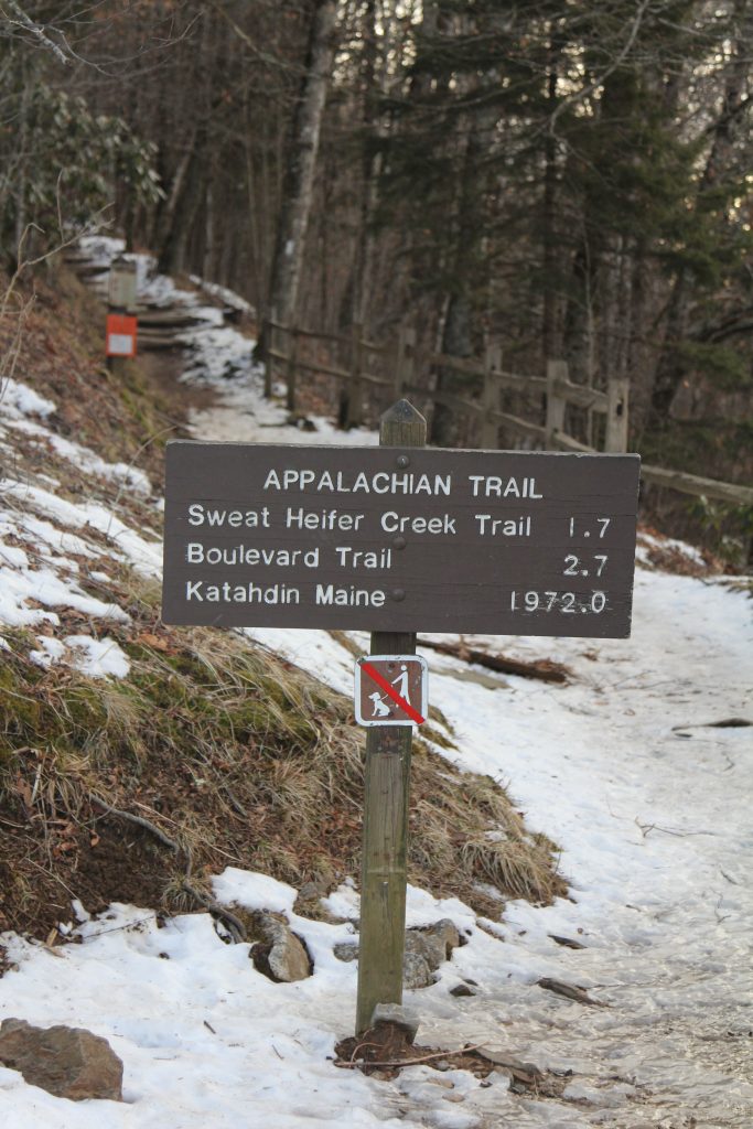
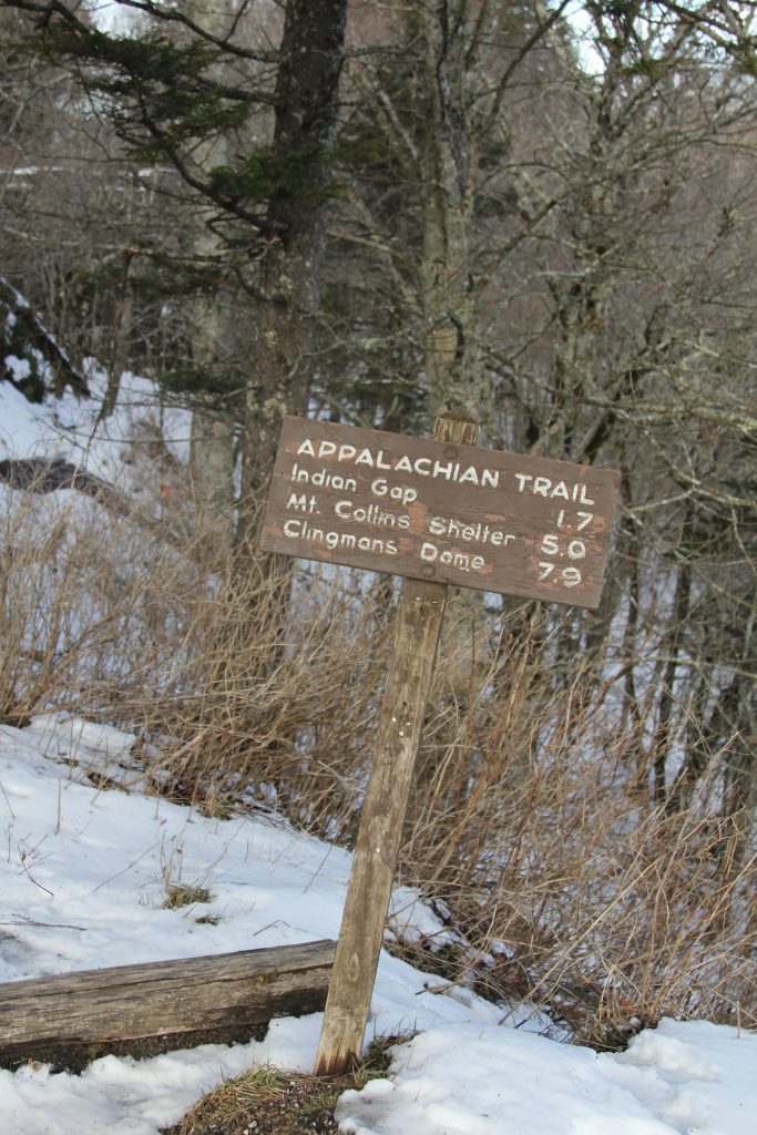
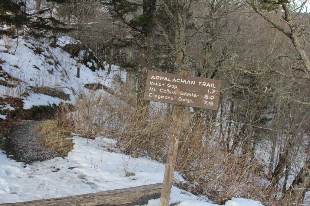
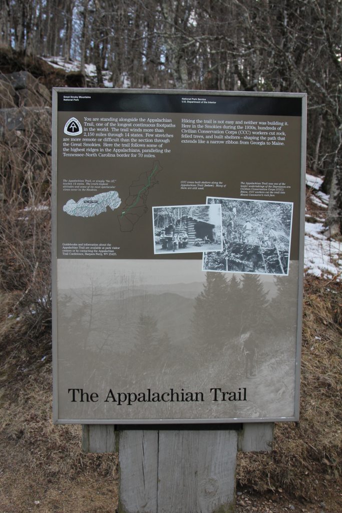
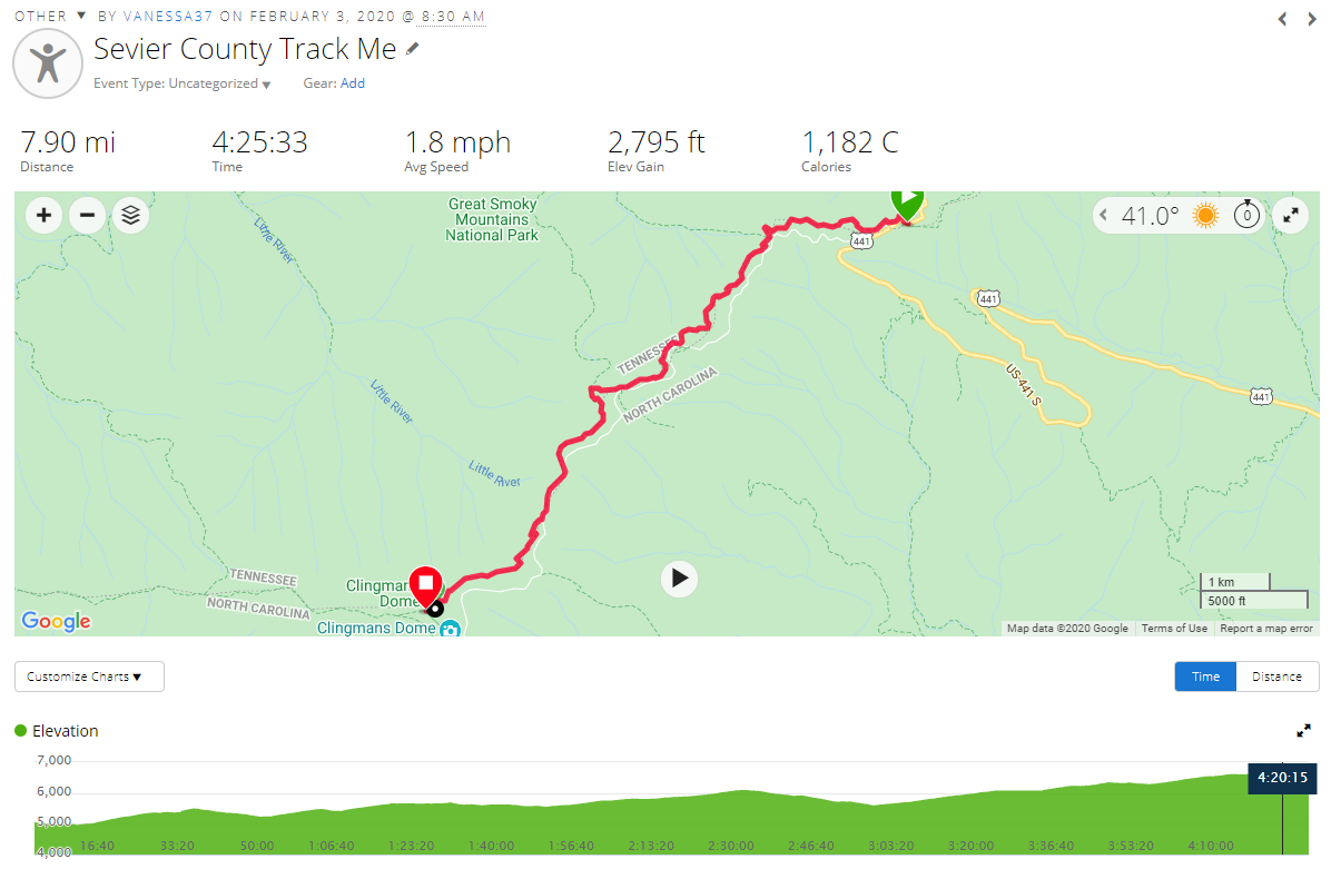
At exactly 8:30 AM, we were on our way to Clingman’s Dome!
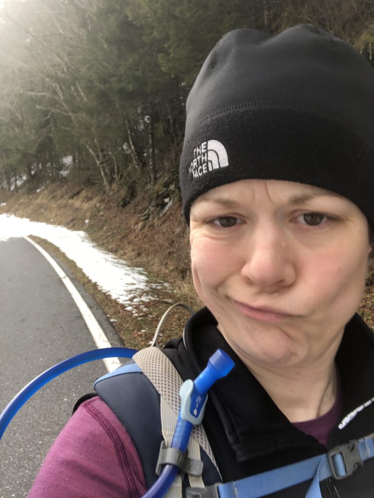
About 30 seconds in, I realized I hadn’t stretched, so I stopped and warmed up a bit. My body felt VERY sore from yesterday’s effort, so I knew I’d probably need to slow down a bit.
However, I expected this hike to be easier than Mt Mitchell, mainly due to this winter hiking blog about it. I knew it would be longer—nearly 8 miles—but the elevation gain said 1,600 feet, which paled in comparison to yesterday’s hike. If only I had done a tad more research… 😛
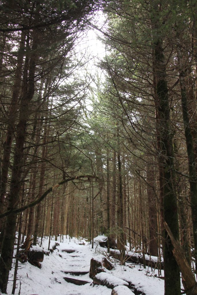
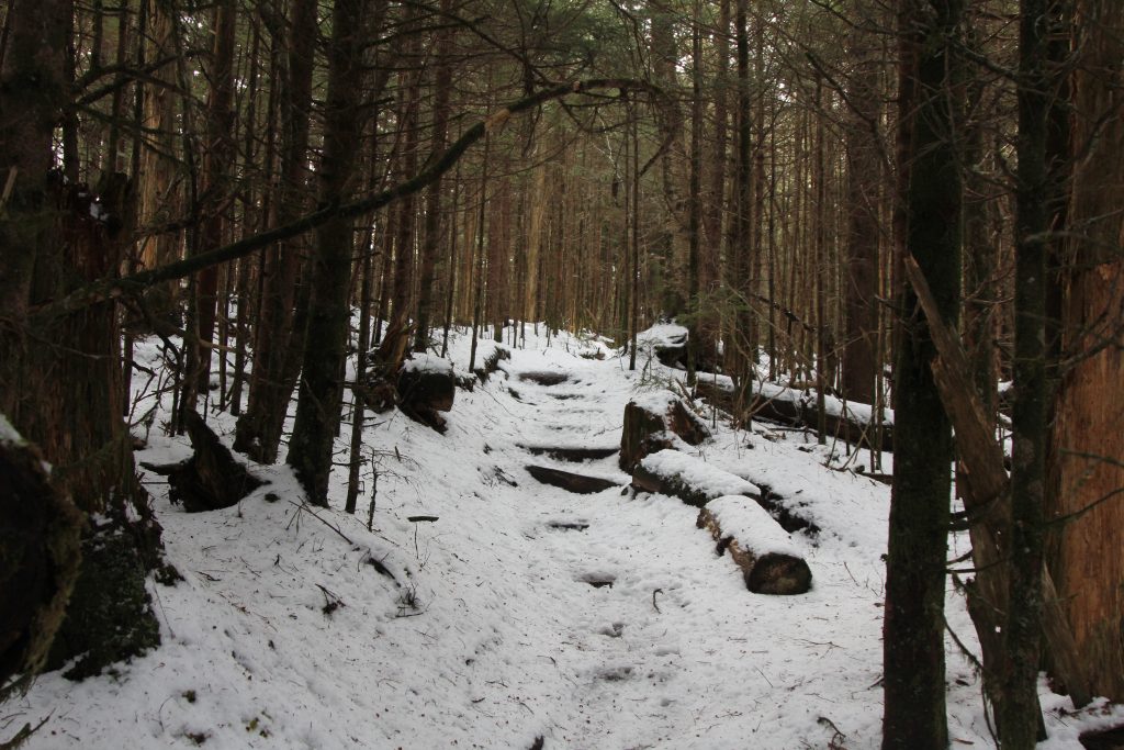
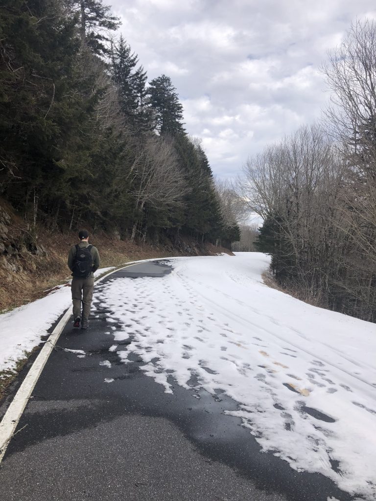
The trail started off immediately snow-covered.

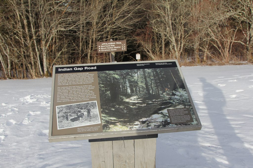
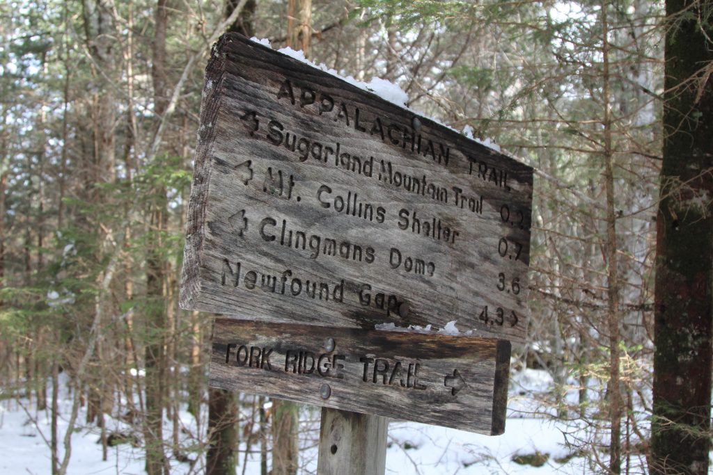
We came upon a clearing less than 2 miles in, Indian Gap Road. We didn’t bother to read the whole plaque, but was nice to see signs of live. (We didn’t notice the road right next to it, covered in snow, that we’d be walking down hours later!)
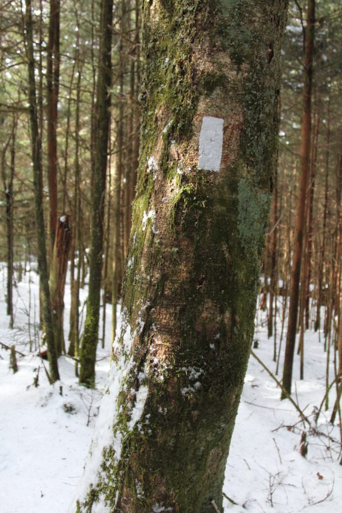
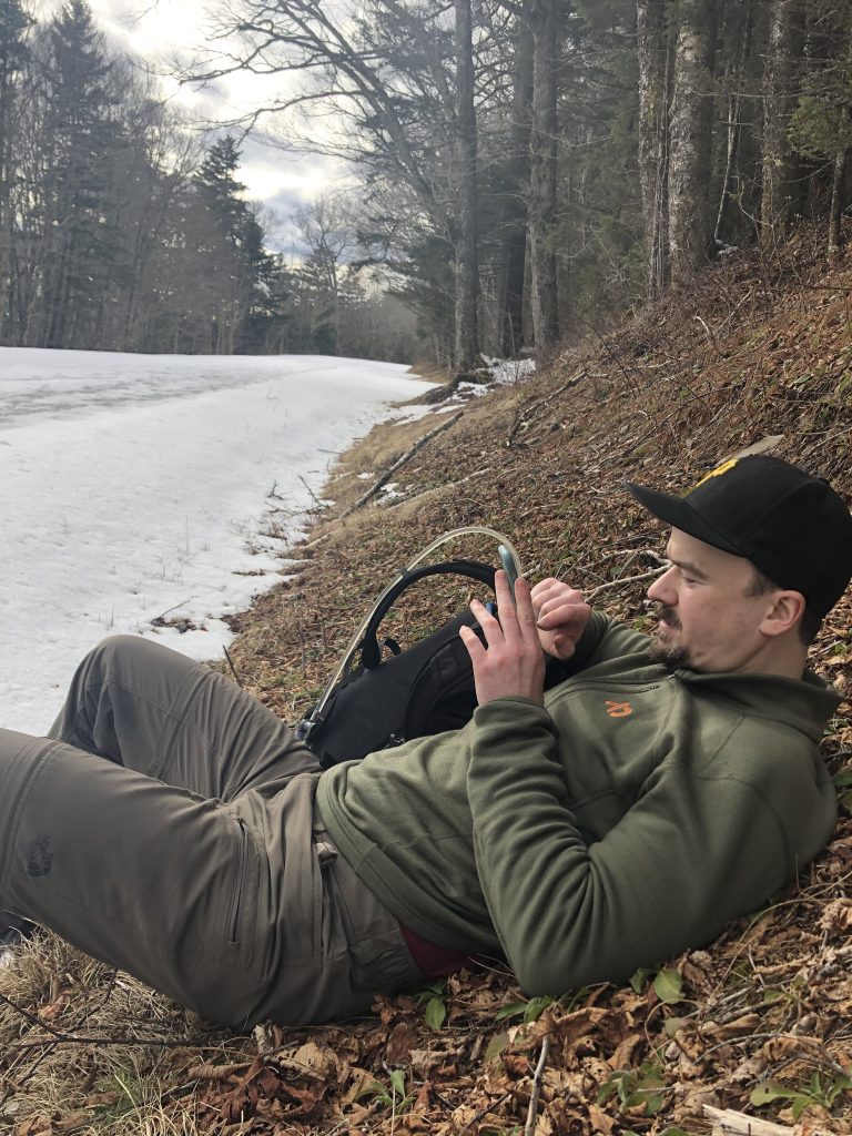
We followed prints in the snow, what looked to me like two men’s, and I was grateful they had blazed the trail. We moved along at a good pace, for me at least, and didn’t stop for a break until over an hour in. I got out my space blanket so we could sit on a log without getting our butts wet. We split a Nutrageous and it was AMAZING. Hadn’t had one in years.

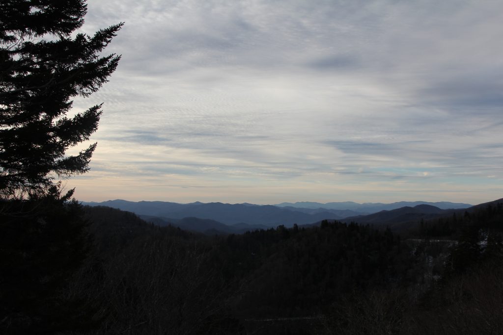
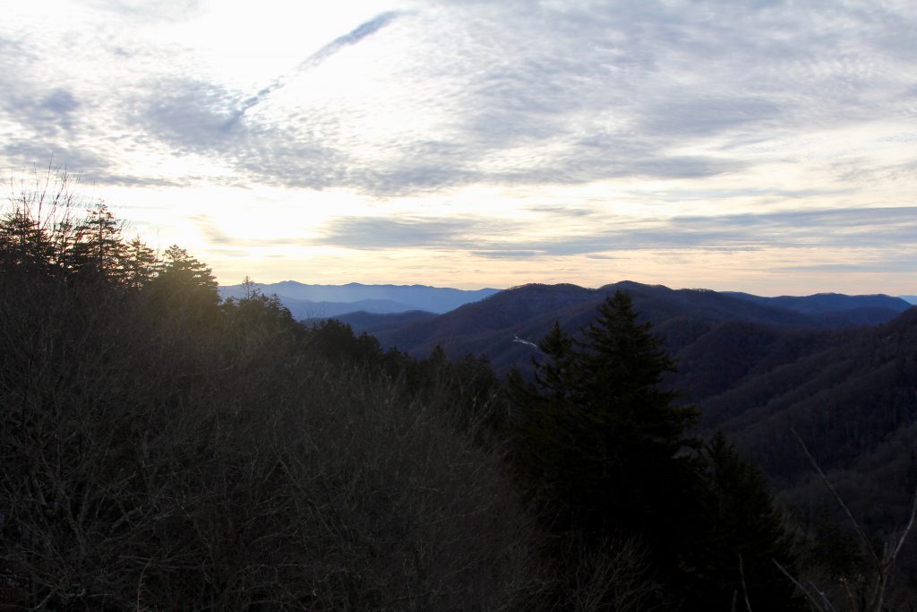
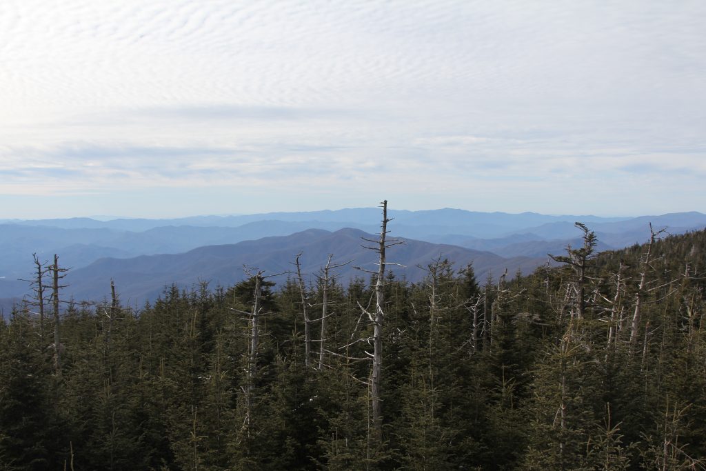
The forest had this gorgeous, ethereal glow in the early morning sun.

Unlike yesterday, which kept going up, and up, and up, this trail had some rolling hills (mini mountains?) which didn’t feel great. We’d strain and struggle to climb up, only to go back down the other side. Sometimes my legs would be screaming on the way up, and I’d wonder how much further?! We stopped for another snack break past the 3 hour mark. Joel got his map app working and showed me we didn’t have much further (only another 40 minutes I’d find out, haha)
I struggled, strained, stopped to rest my cramping knee, weary and ready for a break.

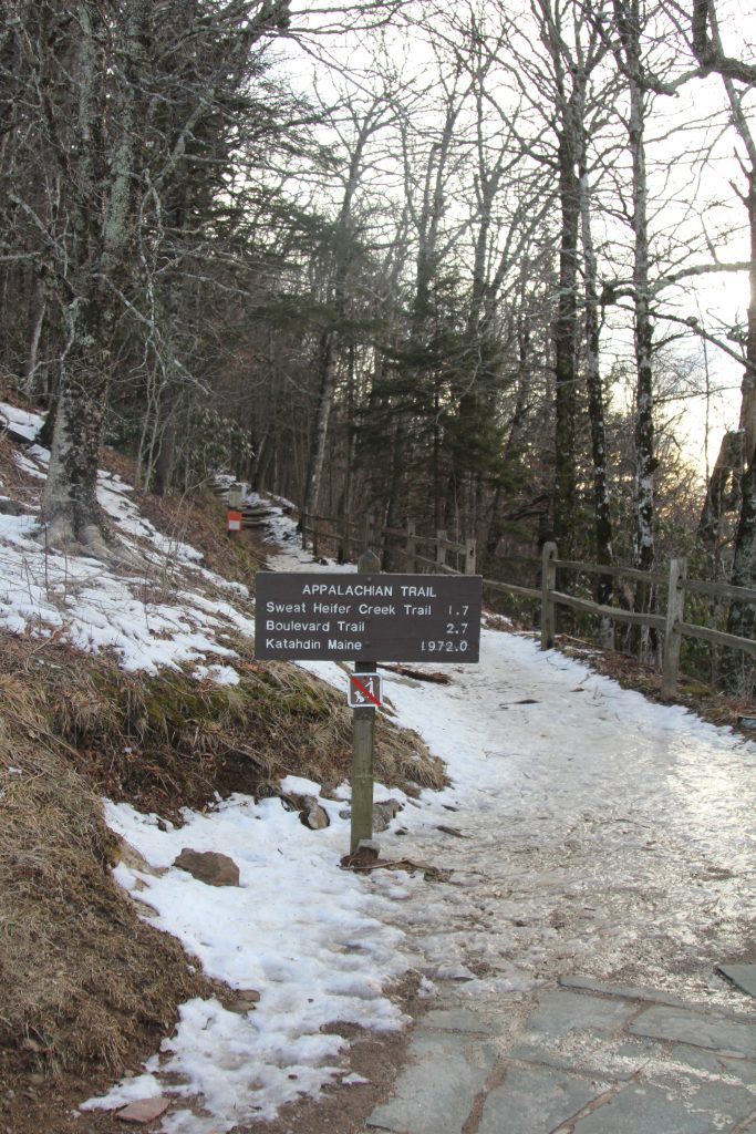
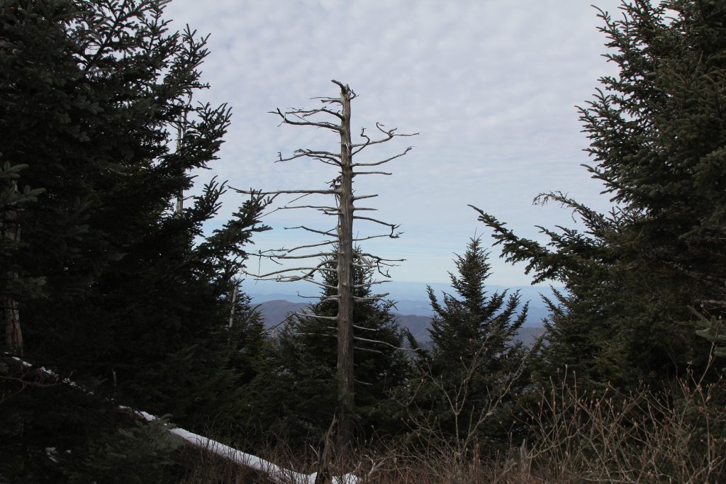
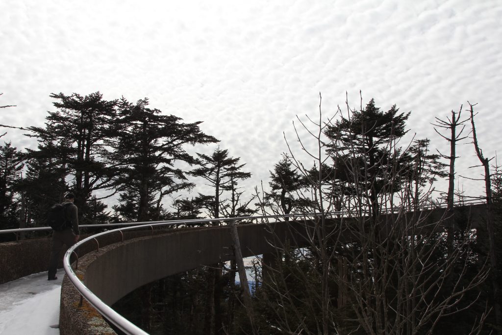
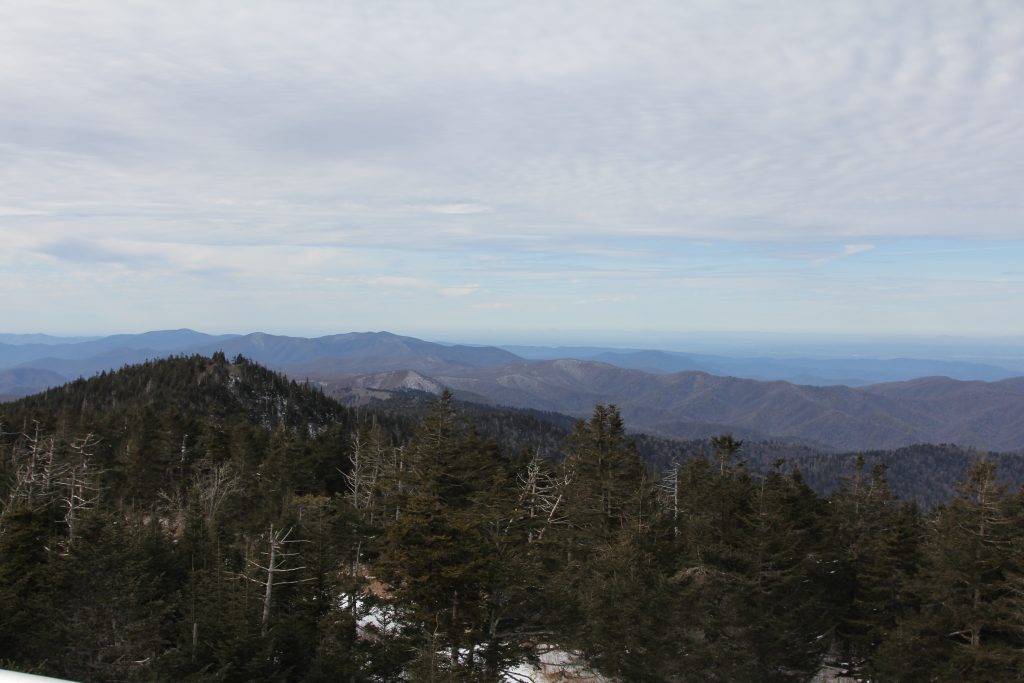
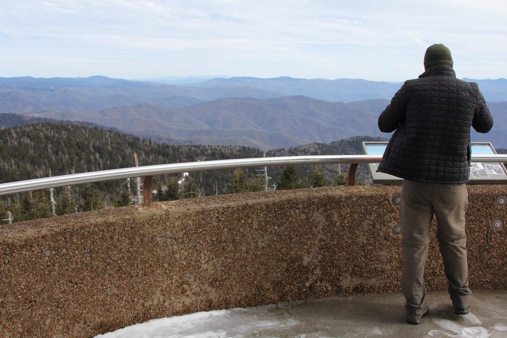
At last, we could see opening through the trees, and the trail came out at the base of Clingman’s Dome!


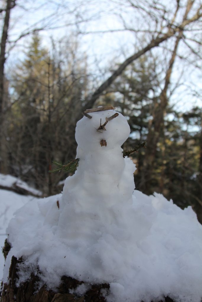
It reminded us both of a zombie apocalypse movie… we could tell humans were usually there, but it was deserted due to the road being closed (and the trail being covered in snow deterred all the other crazy hikers, except us!) It was very cool having the whole place to ourselves, so we took pics and planned to eat lunch there…
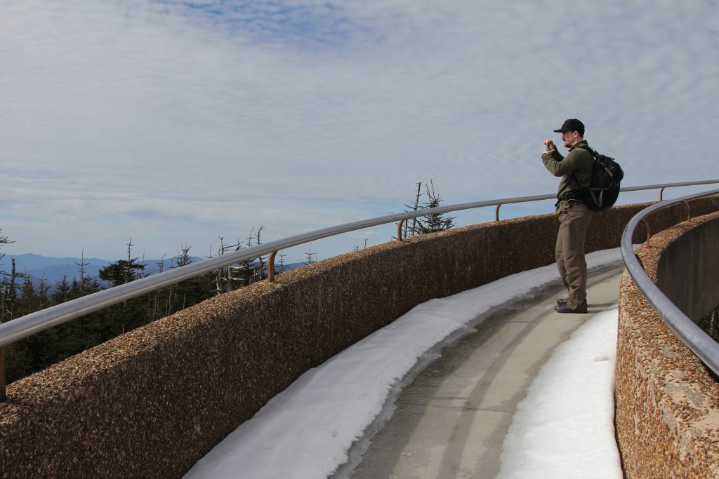
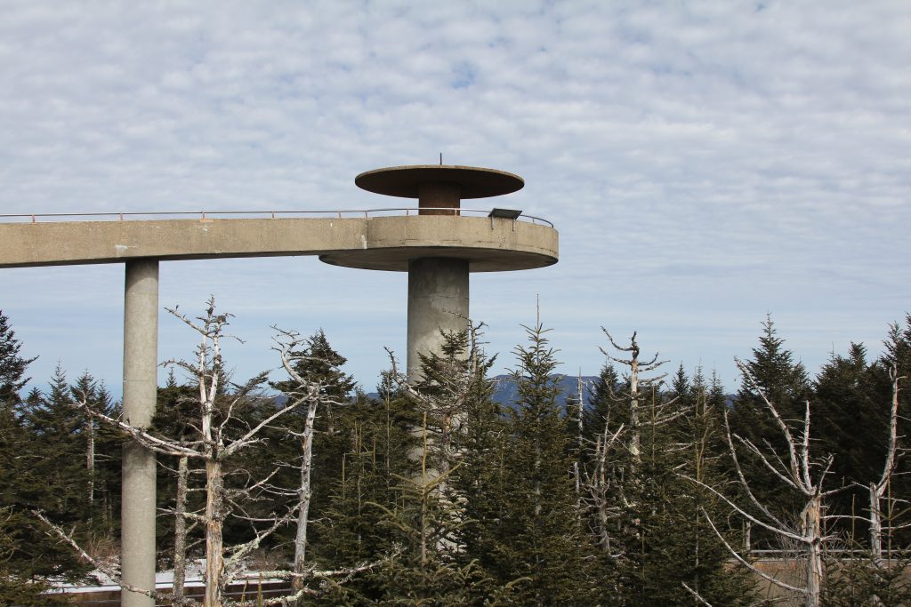
…until the wind kept blowing out the JetBoil! We took a timer photo of the two of us, then headed down from the observation tower.

We moved down the hill to eat. The mac & cheese, and Bumblebee tuna, tasted VERY good. I realized I forgot to stop my watch so I did then.
Moving time, 3:25. Total time, 4:25. 7.9 miles total, with 2,795 ft gain and 1,283 feet loss. Whew! [Net gain of 1,600 feet… total gain was much more than that!]
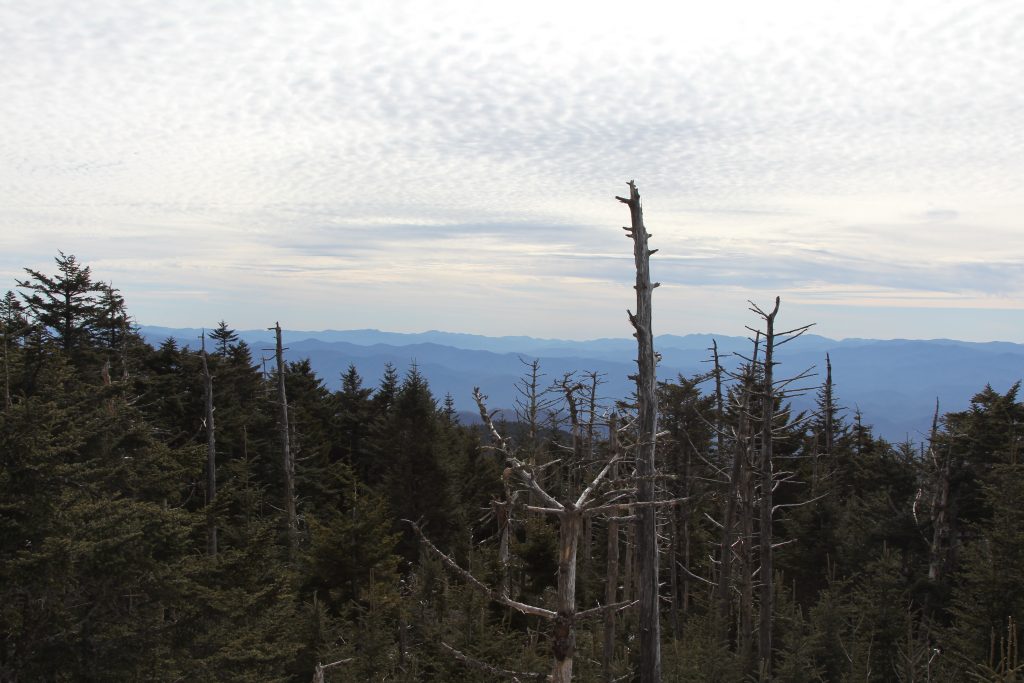
More about Clingmans Dome, to quote dear Wikipedia: At an elevation of 6,643 feet (2,025 m), it is the highest mountain in the Smokies, the highest point in the state of Tennessee, and the highest point along the 2,192-mile (3,528 km) Appalachian Trail. It is also the third highest point in mainland Eastern North America, after the nearby Mount Mitchell (6,684 feet or 2,037 metres) and Mount Craig (6,647 feet or 2,026 metres).
We found out the bathrooms (even porta-johns) were locked, but the trash bins were open, so we offloaded some trash.
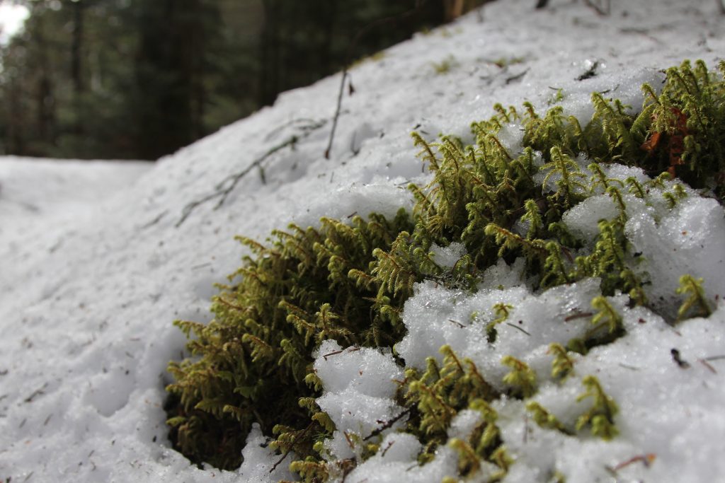
We found a very cool HUGE chunk of ice, clinging to the rock.

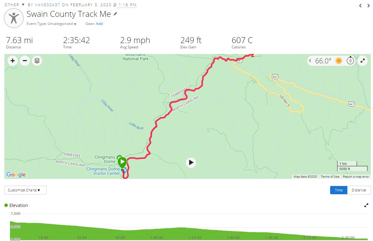
Then, per the winter hiking post I linked above, we took the access road back.

And we found out it was covered in snow… well, 90% covered. There were some clear spots, but mainly, we walked in 4 inch slush, on a canted, windy road for over SEVEN MILES. It was long, boring, and somewhat painful. We wished for a sled, skis, tube, or a bike. Most of it was downhill, thankfully, but some of it was actually UPHILL. We did manage a near “3-clip” (3 miles/hour), but it still took 2:36 to go back. We stopped a few times, once for me to relieve myself on the side of the road (a first for me… there was no where else to go! Steep uphill or steep drop-offs weren’t an option). We caught up to 3 guys when we were almost done. They had been the trailblazers! They said “you’re welcome” after I mentioned we were following their prints. And I said, “yeah, thanks”—but really I was like, hey guys, we continued on to the top, but you turned off somewhere and took the road [aka easier way] up.

Finally, we saw more people (tourists in non-hiking attire) and knew the parking lot must be very close.
We saw the gate, closing the road for winter, and across the road a ways, saw the parking lot.
Joel said: “There’s nothing better than seeing your vehicle at the end of a long day of hiking!” I agreed.
We had been gone over 7 hours, most of that was in motion. I am amazed at what the human body can do!
We walked along the side of the road, on a hiker high, relishing in our accomplishment. That was short-lived…
As we reached the crosswalk, we looked left, right, left again, and proceeded to cross.
When we were nearly across, we both heard a car coming, looked to our right… and here comes an SUV, barreling at us!
We quickly ran (ahhh my sore legs!) to avoid getting hit, and the guy passed us without even braking. I watched him go past, and raised my arms at him, like WTH dude?? This is clearly a pedestrian area—there were all kinds of people all over the place—and we were in a cross walk. It put a bit of a damper on my mood, and then I just felt truly tired.
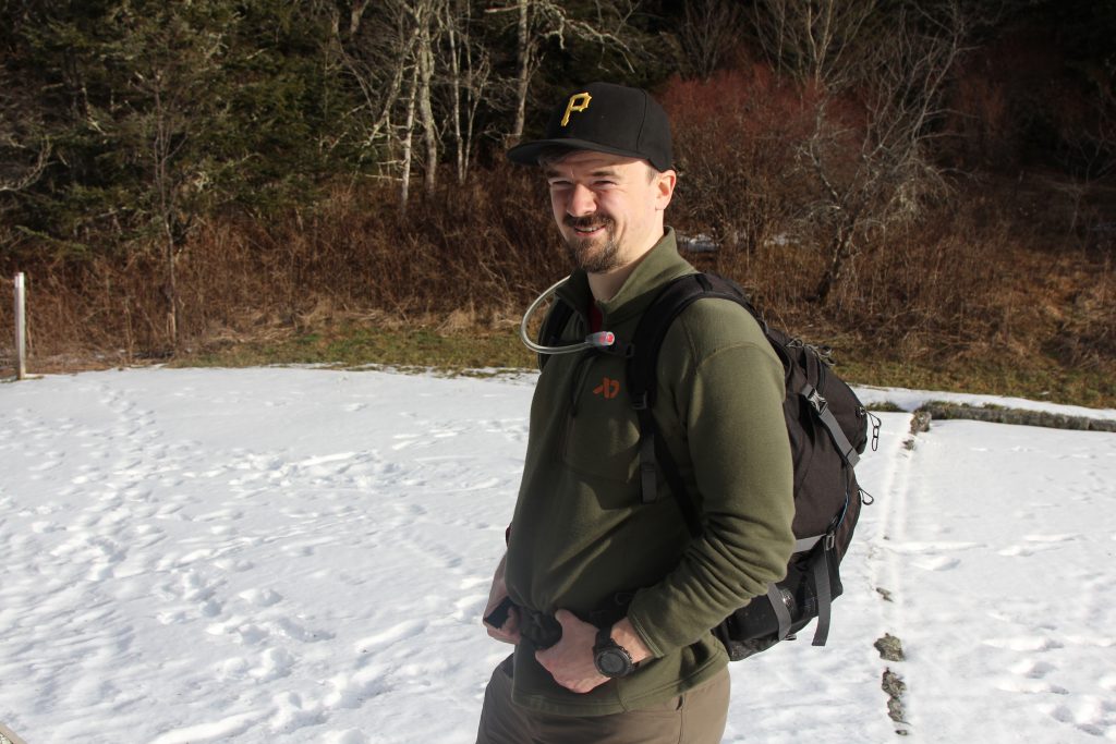
We reached the van safely, and I hear a voice “Do you mind taking a picture of us?”
Ugh… I just walked all dang day (which of course she didn’t know!), but I said, sure, I’ll take a pic of you. Can you take one of us too?

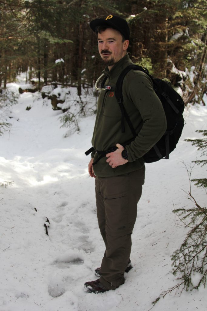
Here we are, 2 peaks down in our new Highpointing Journey 🙂 Up next? We think GA & SC, but going to wait a few months before we start mountain road-trippin’ again!
P.S. I was sooo glad to get my wet shoes & socks off!

Peak 2 = complete!
 Garmin data, for kicks:
I did not realize that Clingman’s Dome was part of the AT. Katahdin, Maine must be where the AT ends?
Those frozen rock waterfalls are prevalent along the BRP. Good that you put Joel in the phot.
My dad advised to always have SOMEBODY in your pictures.
All you blog posts should include glamour shots of your feet.