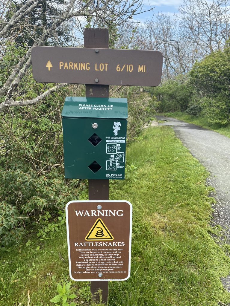
Hike: The highest point in Georgia, Brasstown Bald, is reachable by road (unless you go on a day where they randomly close the steep, windy, 3 mile approach road… like we did!). The upper parking lot is just 0.6 miles from the observation tower, on a paved path through the woods. This was just a ten minute drive from our previous hike, High Shoals Falls trail.

Goal: Bag our 4th state highpoint (after NC, TN, and SC) and get done in time to get on the road and back home by dinner (ideally, 1 PM, as we had a 5 hour drive home).
Gear: Same as the morning, my Camelbak with all the usual items (my big 5: water, snacks, first aid, self protection, space blanket), with the swap of my Altra Lone Peak shoes (which were soaked) for my Altra King MT trail shoes. We also added the Jet Boil and a 3 serving package of Mountain House Chicken & Rice, so we could eat after we arrived at the top. I ditched my trekking poles, since this was a road walk/hike.
Weather: Overcast, occasionally sunny, not too hot (72*), and we had a sprinkle of rain on the way up. Thankfully I remembered sunscreen, and Joel reminded us to put it on!

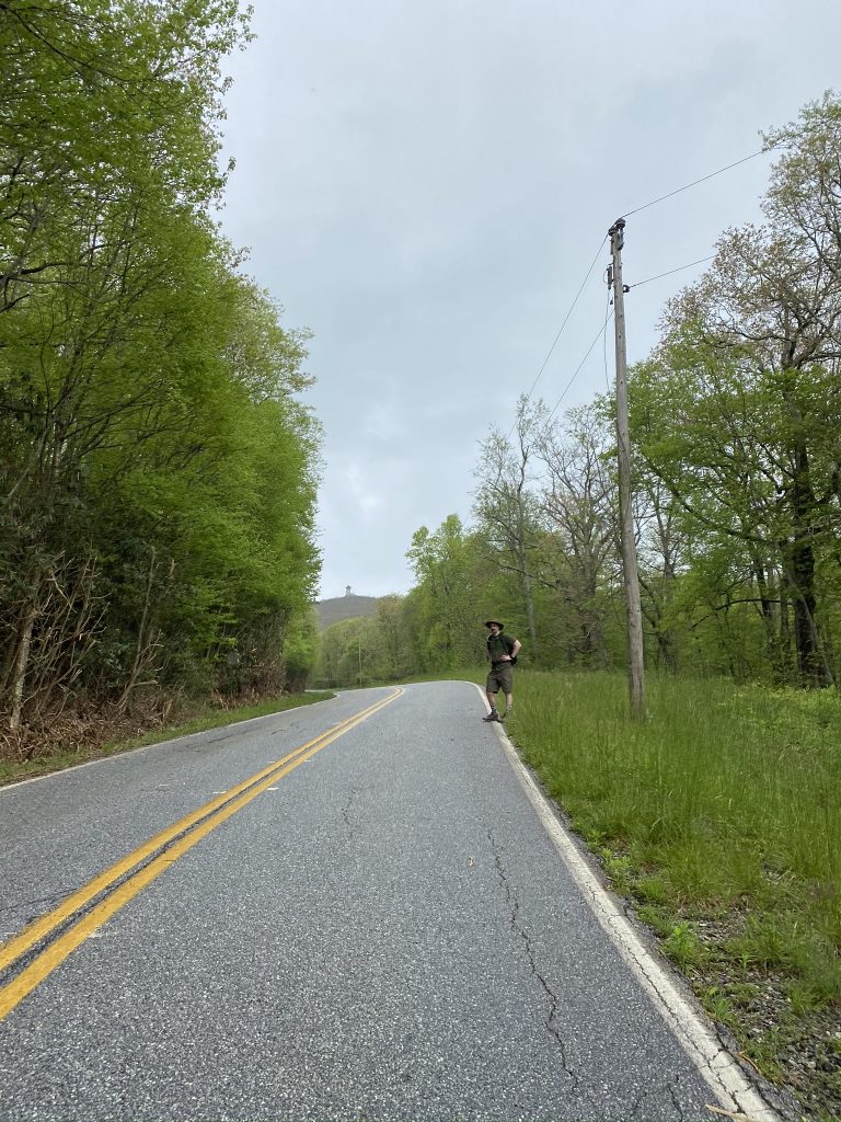
Pre-Hike: Just a short drive from High Shoals Falls, we were ready to pull onto Highway 180, towards Brasstown Bald (the whole area was very well-marked with signs). However, we saw tons of cars parked in a small parking lot, and then realized why–the road to the top was closed! We found one last parking spot, in front of the dumpster, and decided we’d just have to walk it: 3 miles, straight winding uphill! We readied our gear, adding extra water and snacks, applied sunscreen, and hurried to get going, since what was going to be a very quick hike just became a several hours long affair (we had already hiked for 2 hours / nearly 5 miles that morning!) We stepped off at quarter to 11.

Hike: We were both a little bummed that our second hike of the day was going to be much longer and harder than we had anticipated. I like to remind myself that what can go wrong, usually does go wrong, and to always have a plan B. In this case, I had no idea the road would be closed, but no big deal… we just got huffing uphill very quickly. I was shocked at how many families were doing this (walking uphill 3 miles), especially with young kids. The elevation gain in some spots was crazy–it had to have been 5-10% grade. In mile 1, we gained 500 feet; in mile 2, 600 feet gained; and mile 3, 540 feet gained (although my Garmin shows more like 700 feet). There were times it was so steep, I put my hands on my legs to keep them going. After each mile, we took a quick break for drinks and/or a snack.
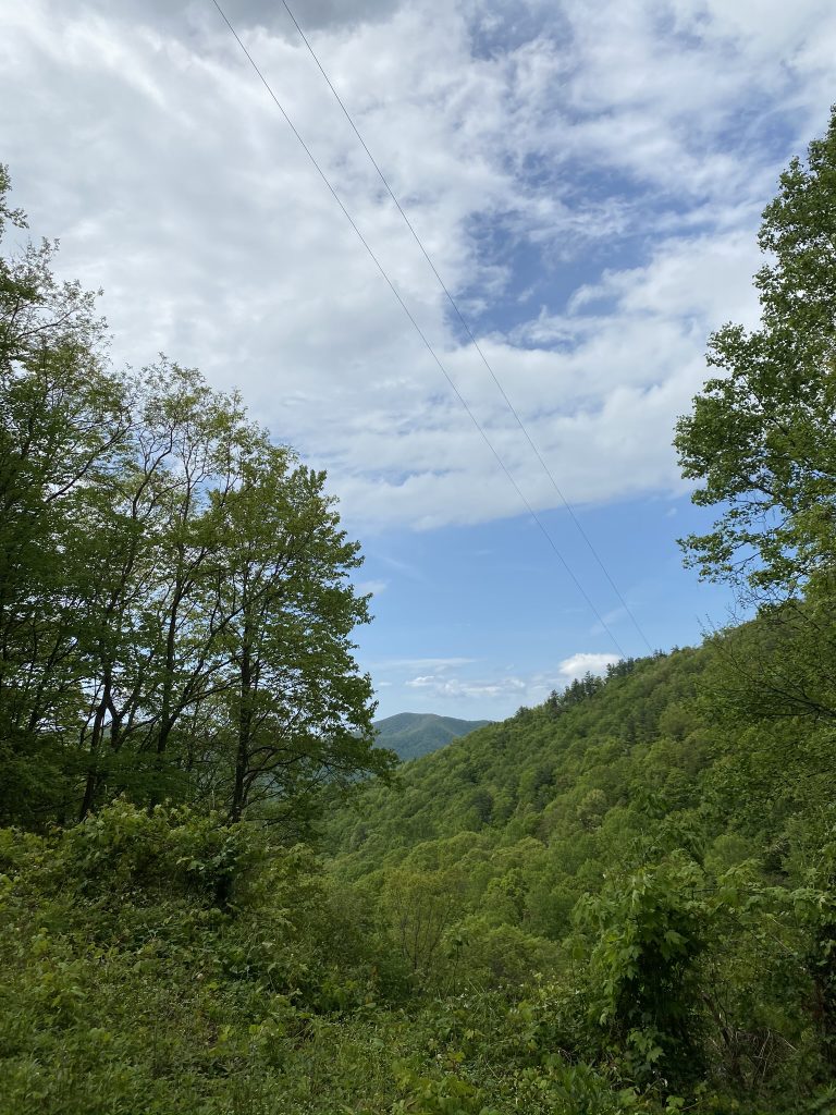
I turned on the music (on my phone) just so it wouldn’t be quite as long (and boring!) We jammed to some International Love, Sweet but Psycho, Old Town Road, Steal my Sunshine, and others. It definitely helped pass the time. Finally, we got to the main parking lot (after 2.5 miles), and heard the park ranger giving an older couple directions. She said it was free if you’re walking in, so we just walked in (otherwise, I think it was $3 each). For whatever reason (tired, probably), I didn’t take any pictures of the parking lot area.
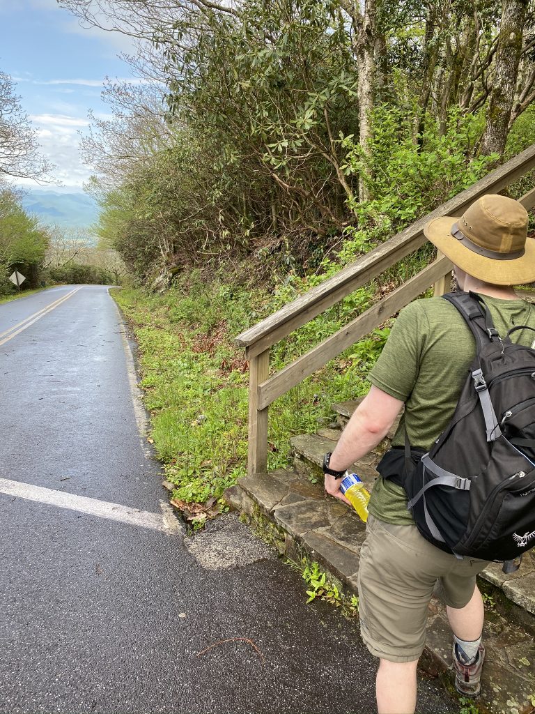
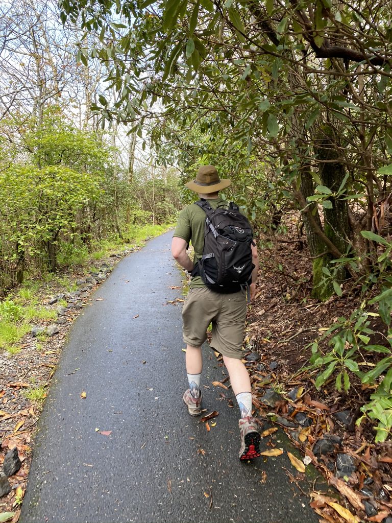
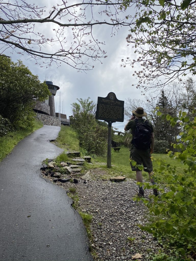
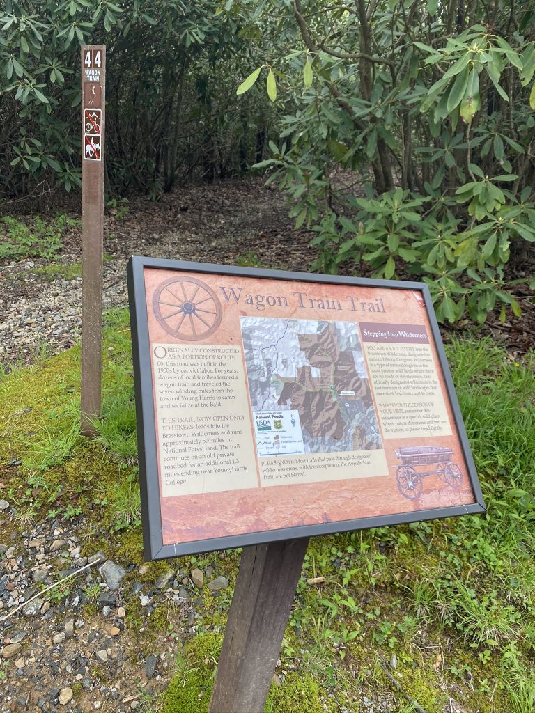
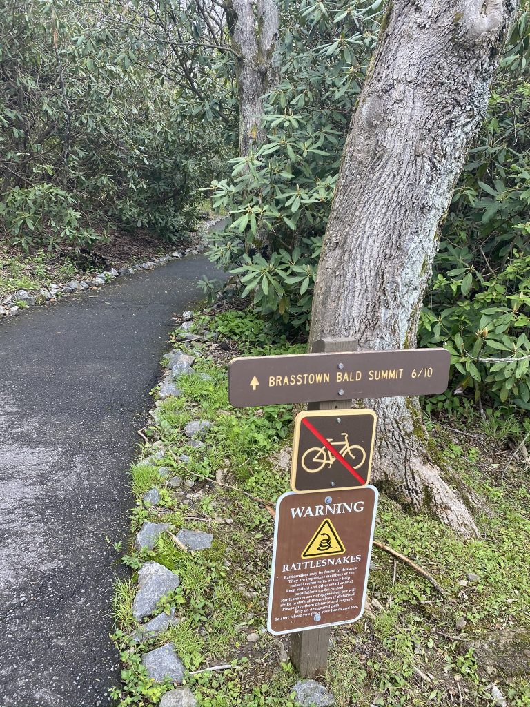
We headed up the road further, and I pointed out we could take the trail, but Joel preferred the road so we’d get there faster (and we later found that we missed the trailhead from the parking lot). Holy crap, what a steep road! Finally, we saw where the trail crossed the road, and decided to take the trail the rest of the way. It was a paved trail, so easy to walk.
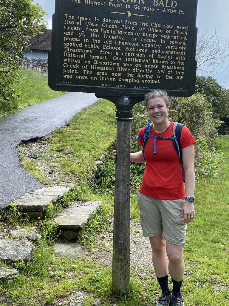
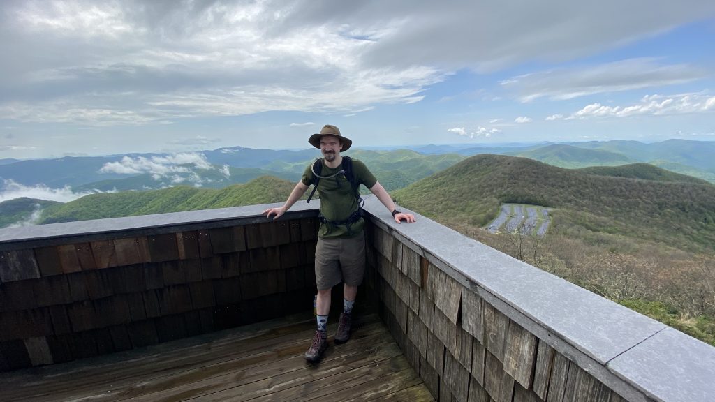
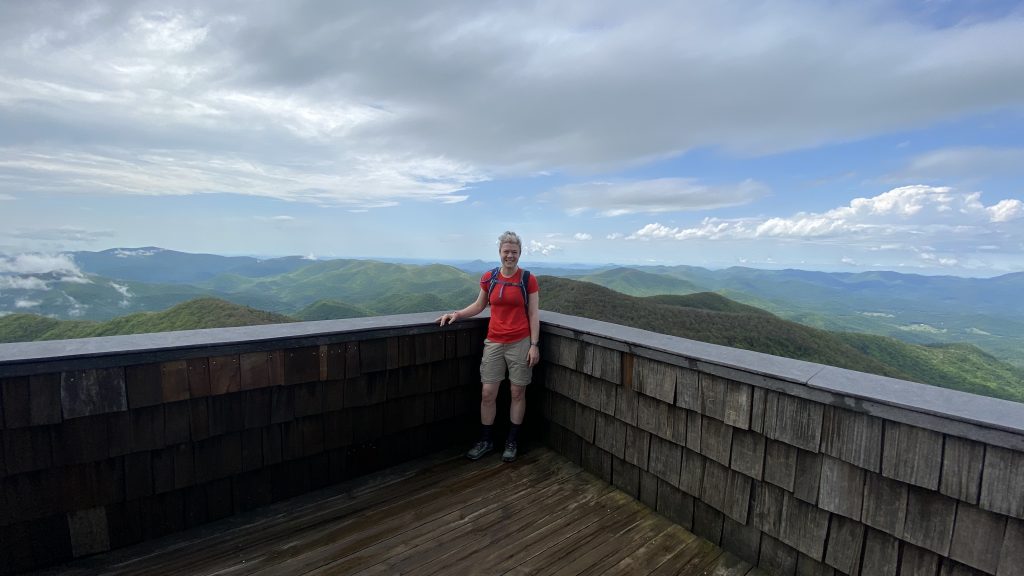
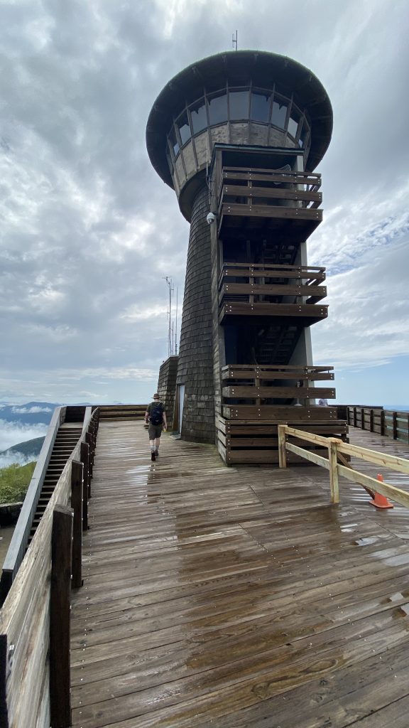
Shortly up the trail, we came to the top! Some other people were coming down, so they took our picture:
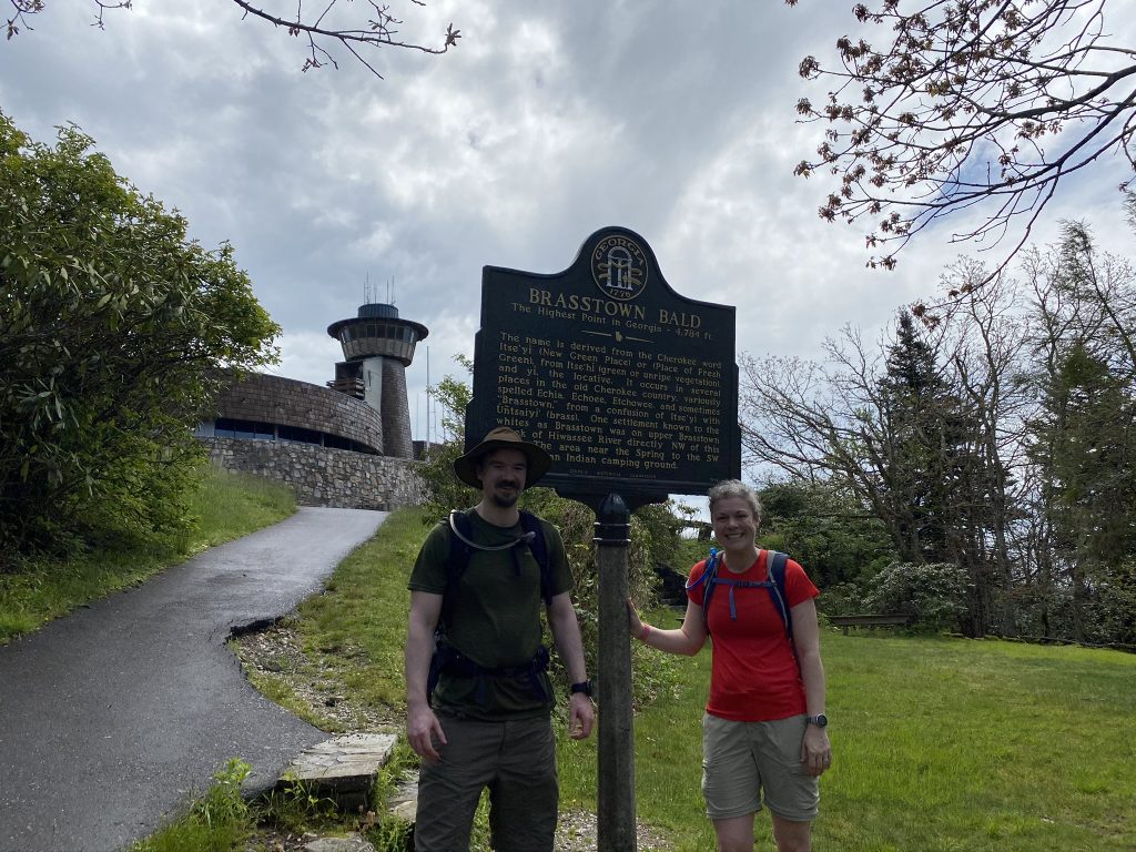
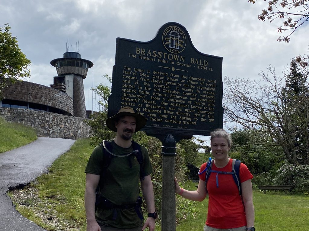
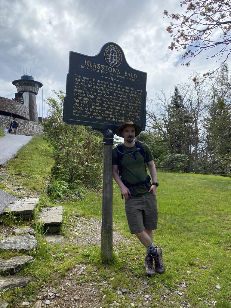
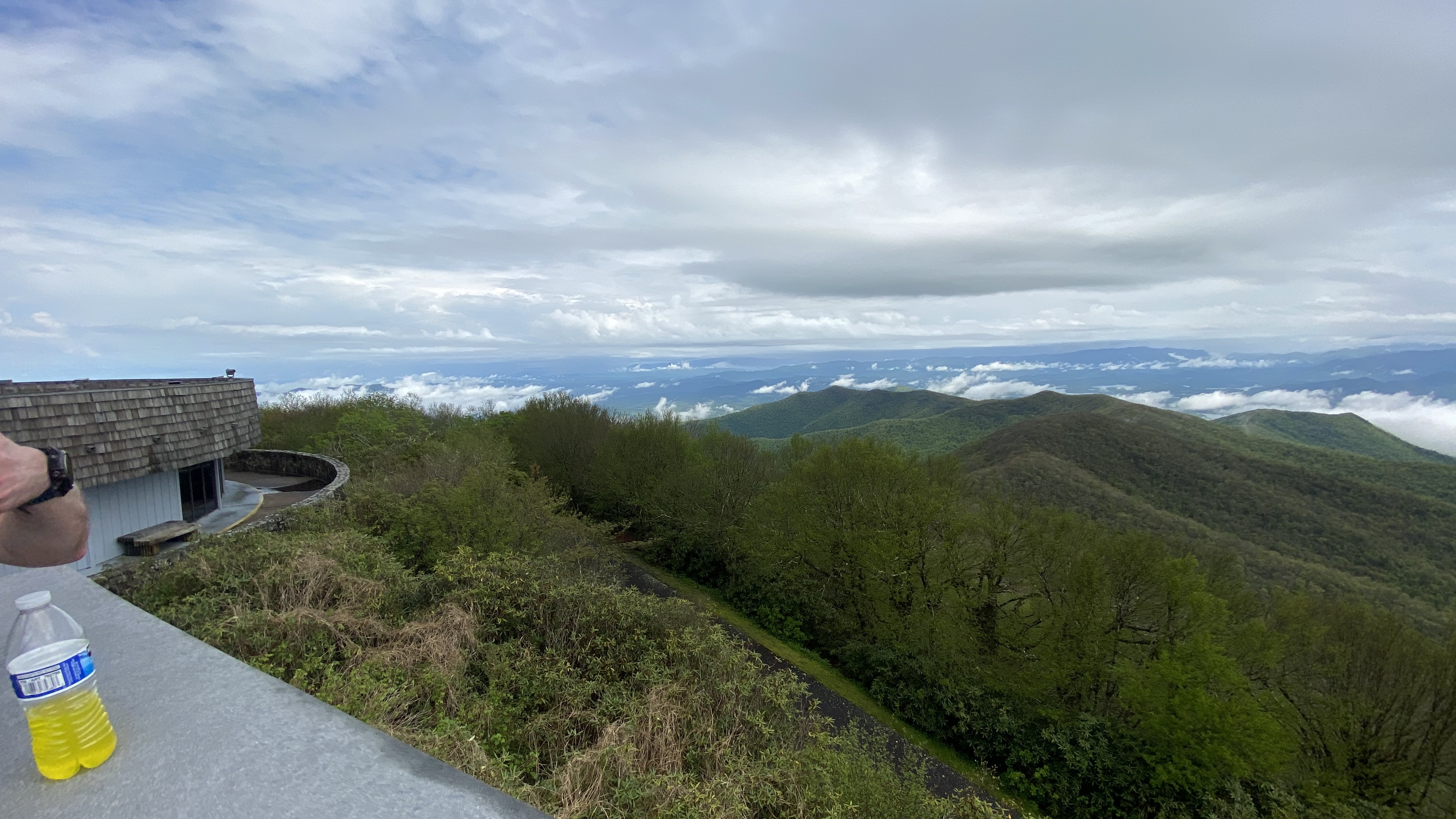
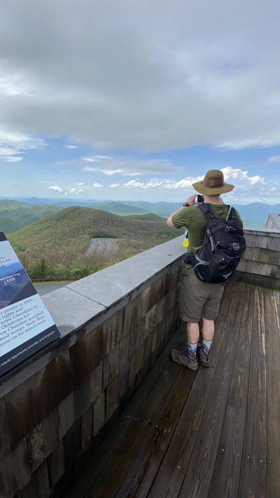
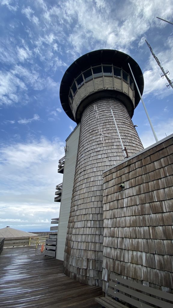
We headed up to the observation tower:

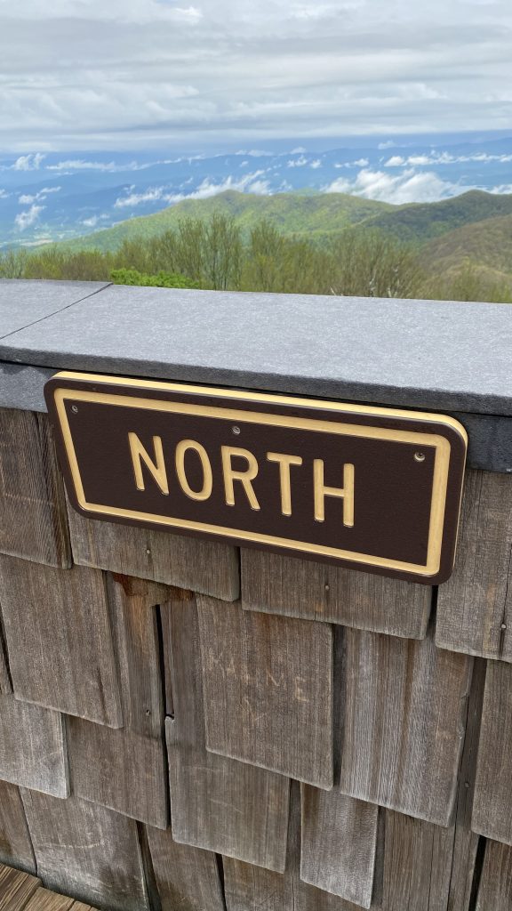
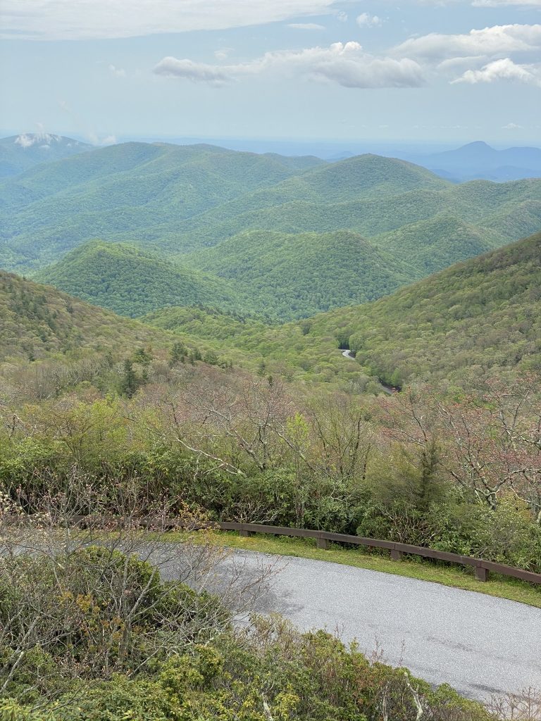
…and enjoyed all the great views! It was just about noon.


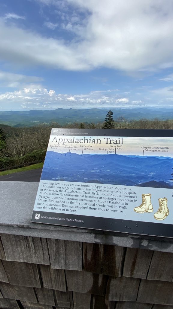
After enjoying the views and reading the historical signs, we found a bench to take a load off while we cooked our lunch.
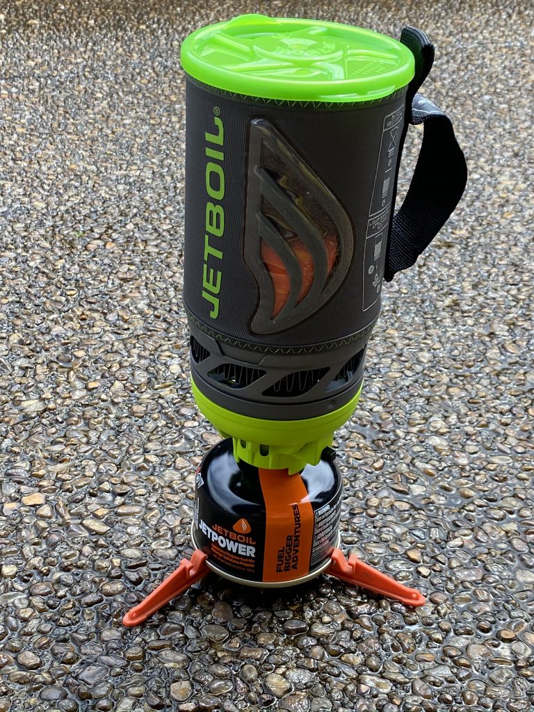
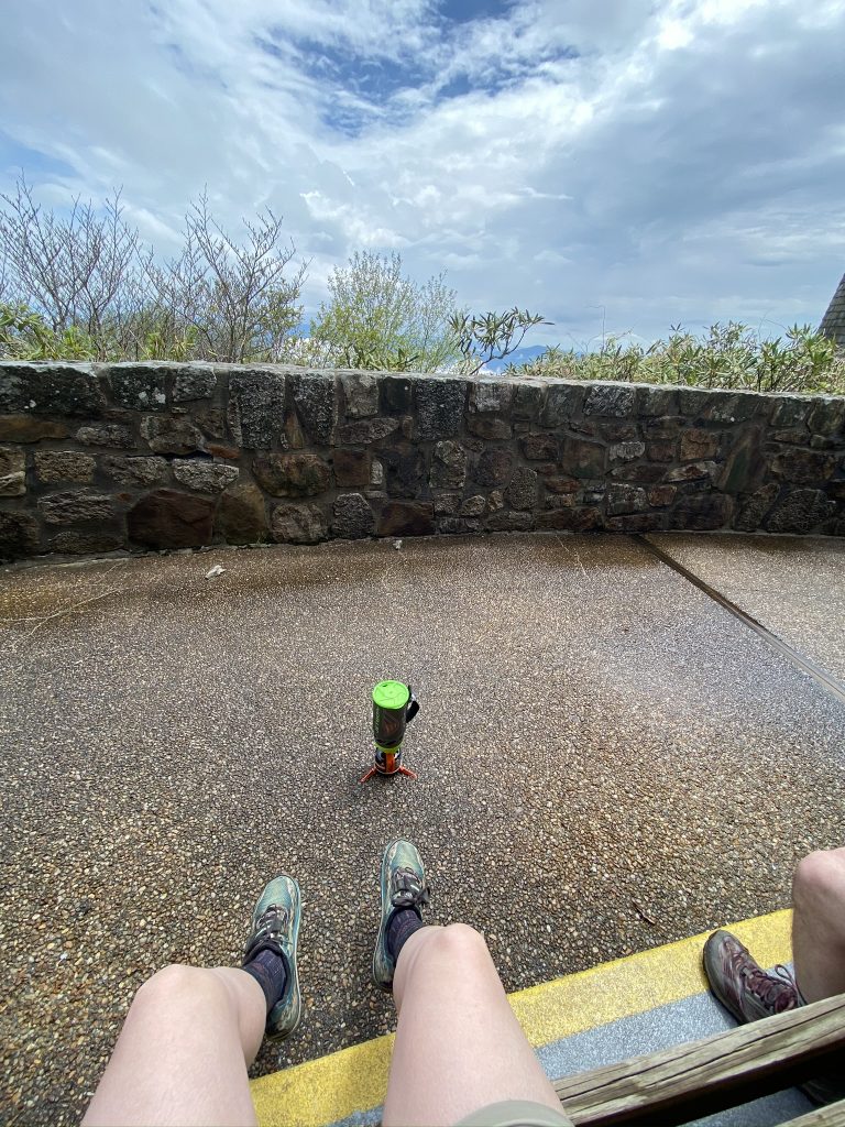
The Jet Boil pulled through, boiling our water quickly. I had forgotten a utensil, so Joel said I could eat first (what a nice brother!) and borrow his spork. The super hot and hearty lunch didn’t disappoint–I had worked up quite an appetite, with over 3 hours of hiking that day. I tried to eat a little less than half, to save plenty for Joel. While he ate, I took a few more pics.
I saw the bend in the road where we had first spotted the tower!
After our half hour lunch break, we packed up our things, and headed back down, learning about the history of the area as we went.

The way back was uneventful–we stepped it out, covering about 3.1 miles in 54 minutes, with just a bathroom break about halfway. It was about 1:30, so we needed to get headed home. The parking lot was even busier than before, with multiple people waiting for a spot! I couldn’t believe how popular this was.
Recommend: This had some nice views, and I’d rank it ahead of South Carolina, but not sure I’d want to do that steep 3 mile road walk again! If you’re in the north Georgia area, I’d say go for it!
Maps:
Slightly different route on the way back, since we took the trail to the main/upper parking lot:
Parking help / area map:

4 states down!

Next up: Our next planned highpointing excursion is at the end of June, to Mount Marcy, NY, and Mount Mansfield, VT! Marcy is a long, hard hike so I’m going to be prepared (planning for some trail runs and/or several hours-long hikes in the next 4 weeks). Also, I’m starting the 10 minute plan by my friend Ashley Keller tomorrow, which should help me gain strength and stamina.
What’s on your outdoor agenda this summer?
Leave a Reply