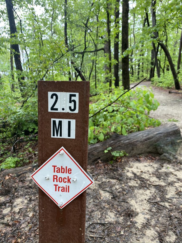
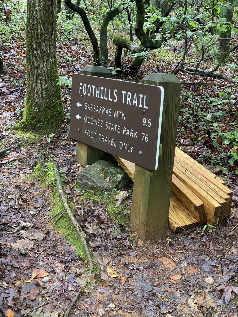
Hike: The Table Rock Trail at Table Rock State Park, near Pickens, South Carolina (about 37 minutes northwest of Greenville, SC, and 1 hour south of Asheville, NC), is a 6.4 mile, strenuous hike with over 2,000 feet of elevation gain. Not far from Sassafras Mountain, it even connects to it via the Sassafras Mountain Trail. My brother and I hiked this trail after Sassafras Mountain on Friday, 5/22/2020.

Goal: To do this hike faster than the prescribed 5 hours! To me, 5 hours for a 6.4 mile hike sounds slow, but then again, this one is rated “hard” and has a lot of elevation gain. Another reason I didn’t want to take too long was that we still needed to drive to Georgia (2 hours) and set up our tent to camp that night.
Gear: Camelbak with 1.5 liters of water, plus an extra 17 oz bottle of water with Nuun electrolytes, snacks, First aid kit, self protection, rain coat, space blanket, borrowed trekking poles.
Gastronomy: Fueled by BBQ from this morning’s hike, and packed Clif shot blocks in watermelon flavor (yum!), a Rice Krispie treat, and a Clif bar (which I ended up not eating).
Weather: Of course, more rain. As we made the drive, it definitely looked like rain. I hoped it would hold off long enough for us to get some great views. It was warm enough (upper 60’s) that we wouldn’t be too cold if we got drenched, but I had my raincoat just in case (good thing!)

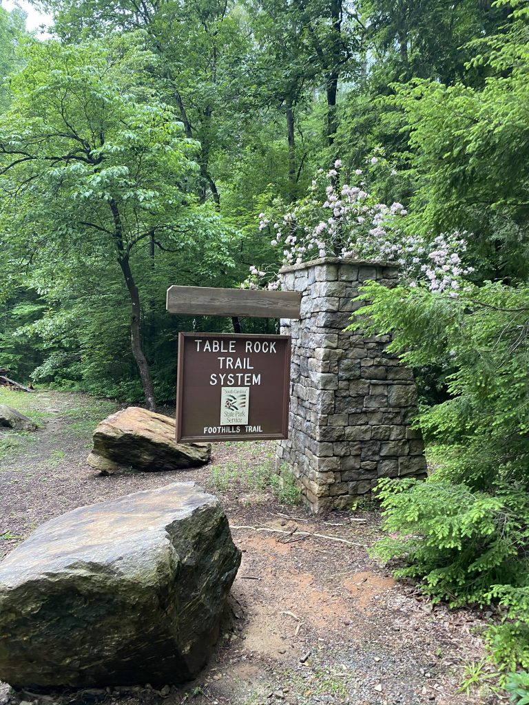
Pre-Hike: Here’s where I must admit that I didn’t bring turn-by-turn directions, or even an Atlas. All I had were the maps that I printed at home, which had low resolution and basically made them unreadable. So, we guessed our way from Sassafras Mountain to Table Rock, since neither of us had enough cell signal to get directions! We made a stop at the Holly Springs Country Store for gas station and a bathroom break, and thankfully saw enough signs… to get us to the wrong side of Table Rock State Park. After asking a park ranger for directions, we made it to the right place. Note: For reference, we turned towards the Visitors Center (south of the highway, next to Lake Oolenoy), but we needed to go to the Nature Center, north of the highway, circled in red below.

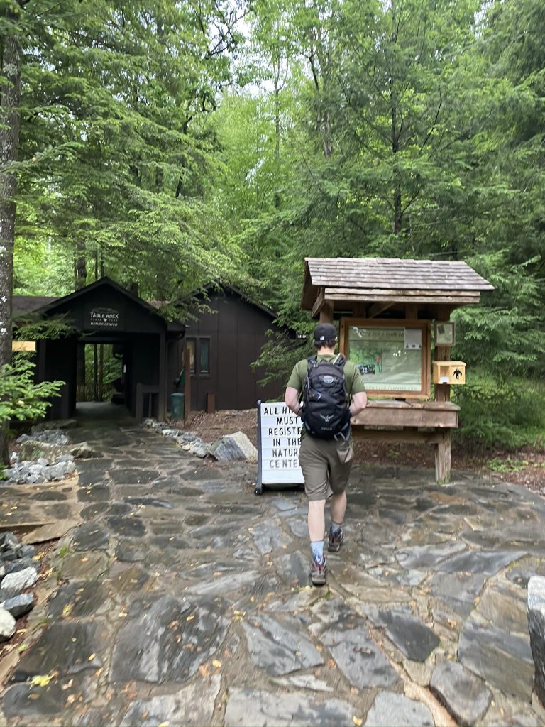
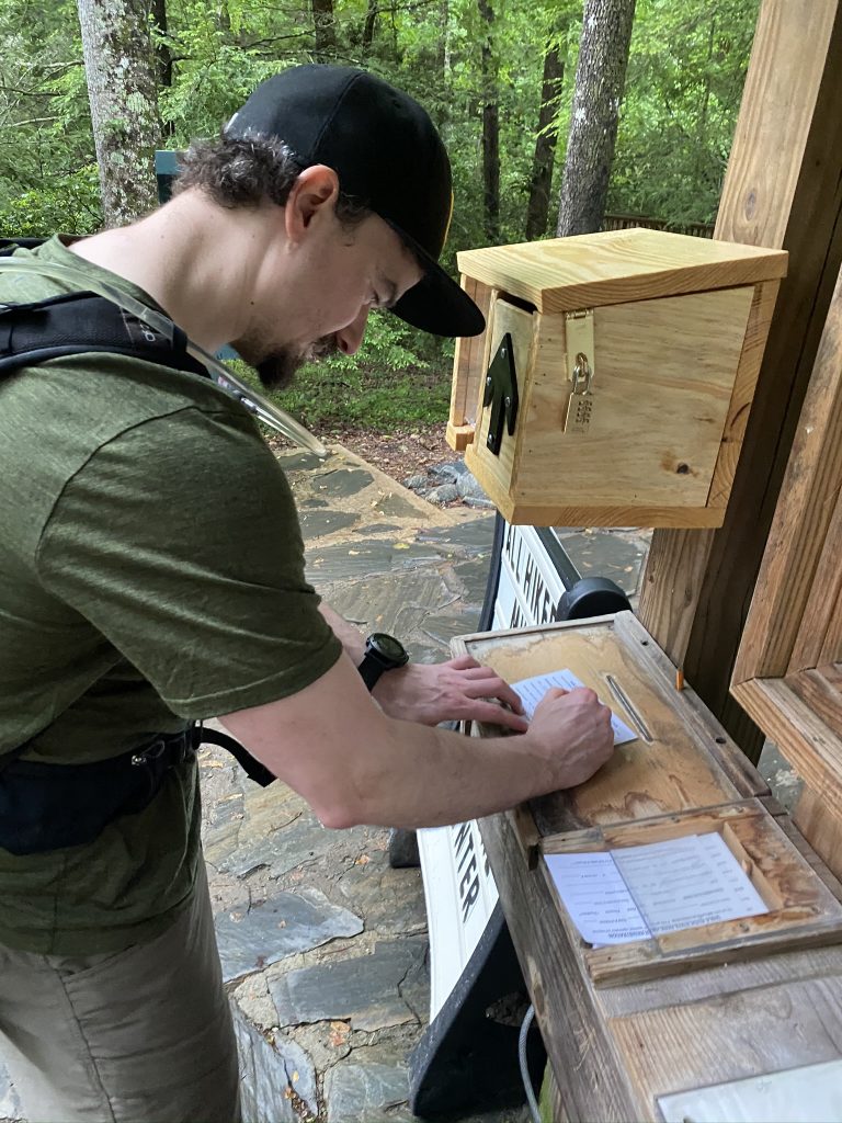
We paid the $6 each to get in, as the park ranger told us the trails were very slippery from rain, and the trail we wanted to do was a 5 hour round trip. He told us we need to be off the mountain by 7 PM, and it was approaching 2 PM… good thing we are pretty fit, hopefully we can beat the 5 hour estimate. We drove a few minutes, then found a parking spot across from the Nature Center. I fiddled with my mom’s trekking poles (and finally figured them out) while Joel got his stuff ready. We crossed the road and signed in at the trail register.
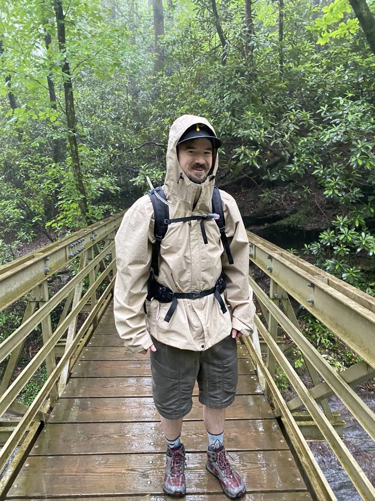
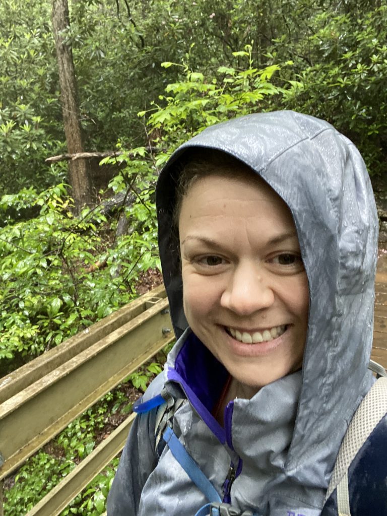
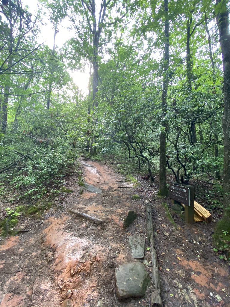
Hike: We started just after 2, and the sky grew very, very dark within a minute of stepping off the Nature Center steps. We saw kids swimming in a nearby waterfall… and suddenly the skies opening, and it began pouring. We both got our raincoats out and put them on so we wouldn’t be completely soaked. We headed up the mountain, as many hikers were coming down, and I couldn’t help but think we were going in the wrong direction. As long as there’s no thunder or lightning… we should be OK. I was prepared to “abort the mission” if it seemed unsafe to continue.
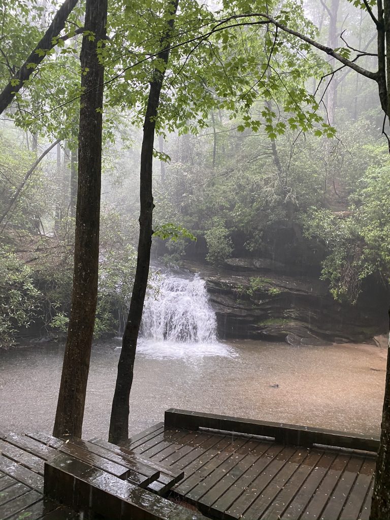
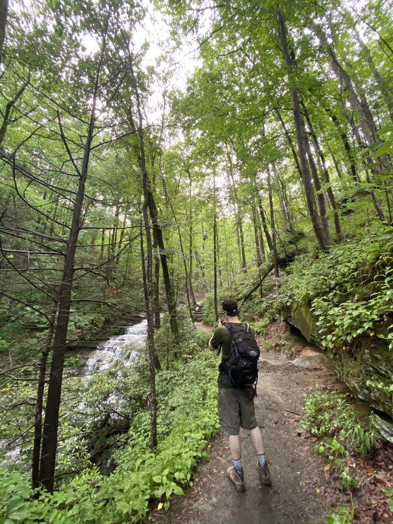
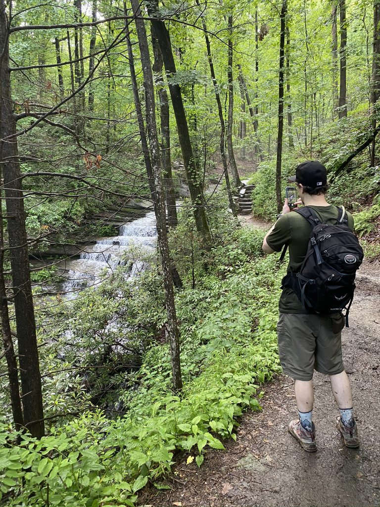
We marveled at the many rushing waterfalls as we quickly headed uphill, over wooden bridges and stone steps. We were also in the land of huge boulders!

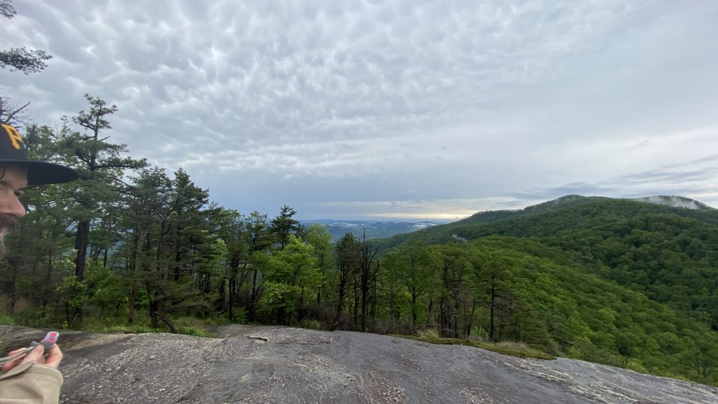
It didn’t take long to get above some of the trees, and the rain tapered off so we could see:

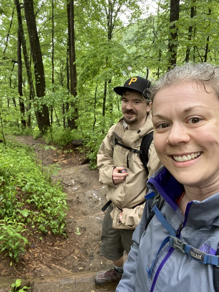
We did our usual chatty kind of hike, and the miles passed quickly. We saw a decent amount of hikers coming back down, and several sitting in a little wooden pavilion (so we didn’t stop there to rest, and I didn’t take a pic of it). The well-marked trail cascaded with a muddy stream, and my feet definitely got wet, but I wasn’t cold since my raincoat holds in heat like a champ. I felt clammy and a bit winded, but overall not bad. Mainly, I was thankful that my left leg wasn’t sore, even with the amount of steps we took climbing this mountain. Whew… thank God! A pain-free hike is all I wanted.
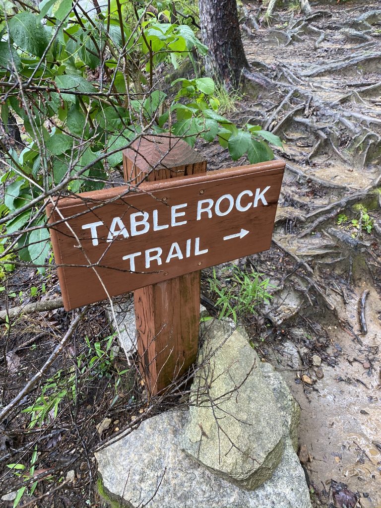
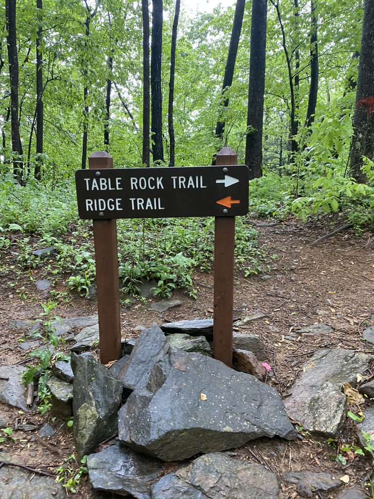
We took a right to continue on Table Rock Trail, and I figured we were about two-thirds of the way (just past the 2 mile mark, and 1 hour in).
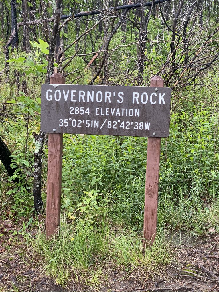
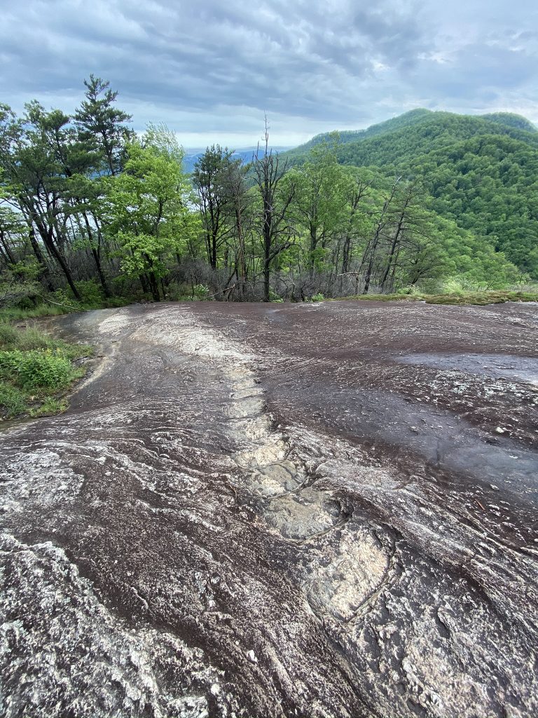
Next was a lovely huge rock face called Governors Rock–we spend a few minutes enjoying the views:
Thankfully the rock had little steps cut out, otherwise it would have been very slippery and hard to climb, even with trekking poles:

This section was the hardest… very steep, very wet, very difficult footing. After that, it was flat and smooth again, so we could walk fast and admire the mountain laurel up close:

I was glad to come to a flat section and clearing where we could rest again:

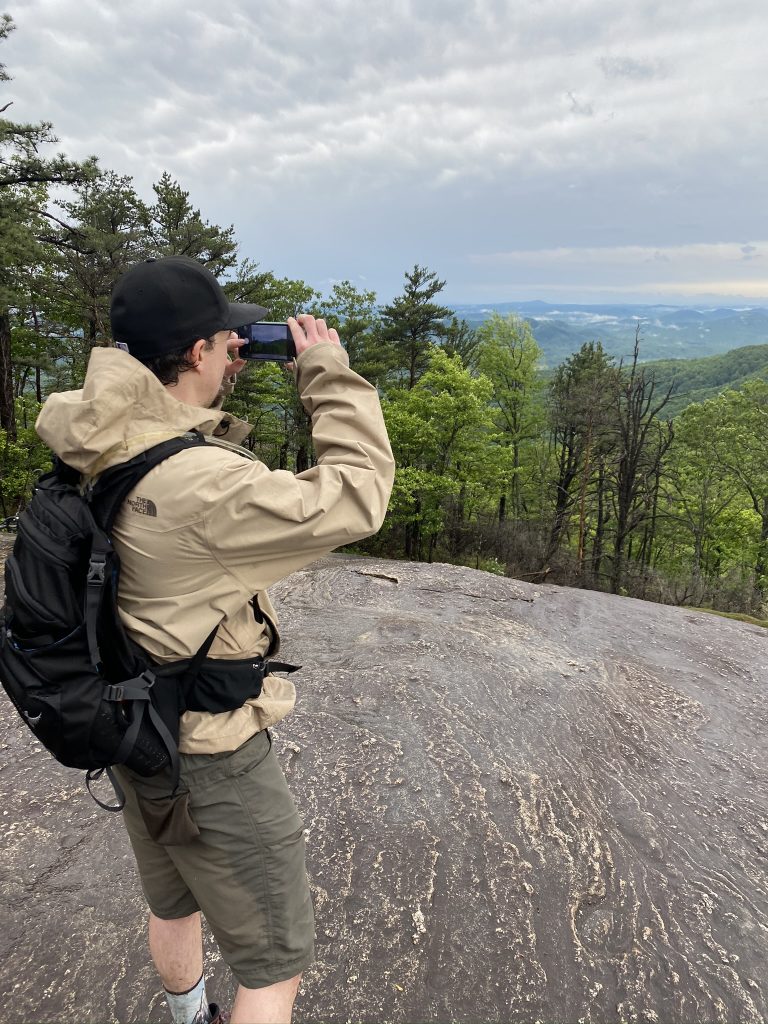
Not much further, we came to the summit, around the 3.2 mile mark.
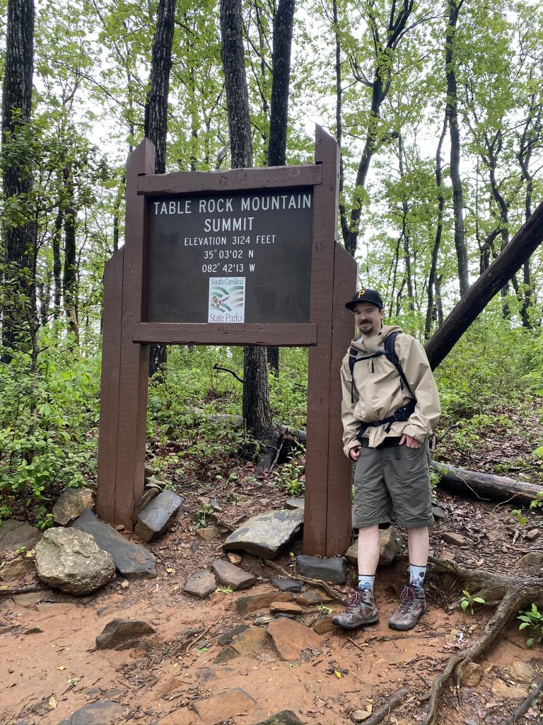
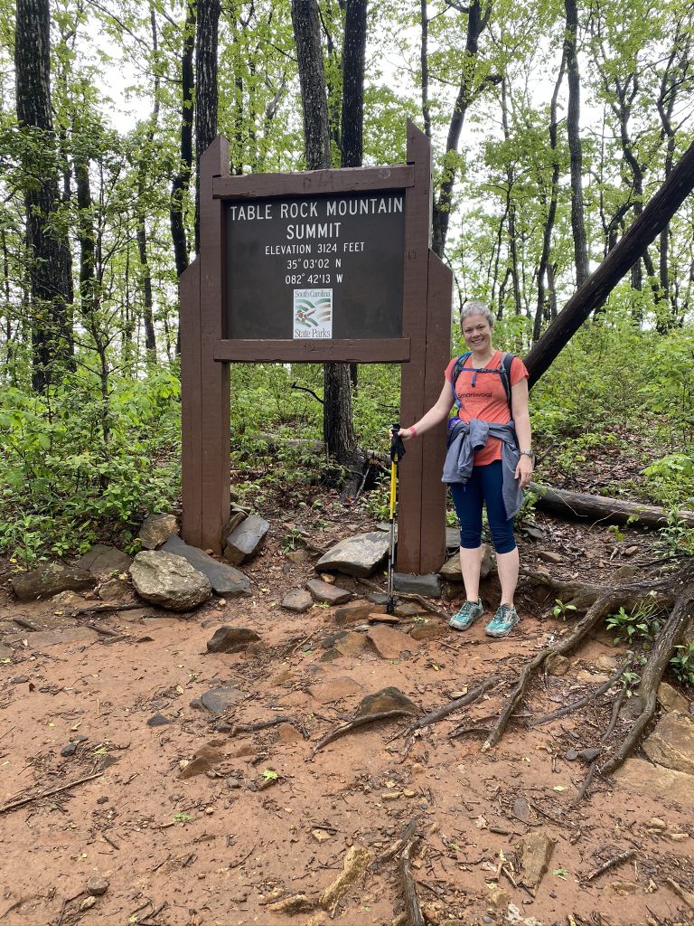
Whew, that was tough but so worth it!

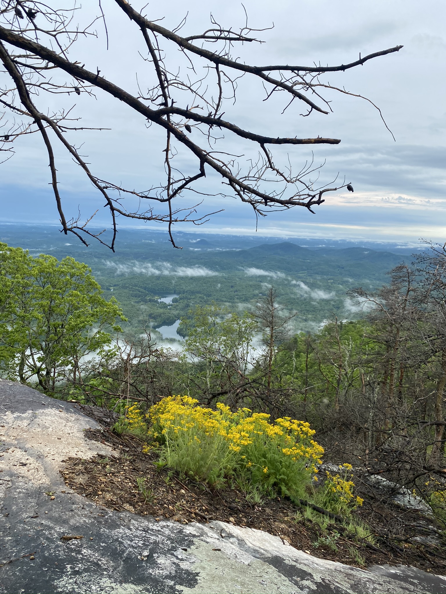
We saw this sign for the overlook, so we went even further down the trail for a few minutes, but it just looked like thick forest, and we weren’t sure if there was an actual overlook coming up. If I had read this blog closer (one that I came across when researching hikes in this area), I would’ve seen that we had another 10-15 minutes’ walk past the summit. But I didn’t know, so we turned around and headed back to the open area for a quick snack break.
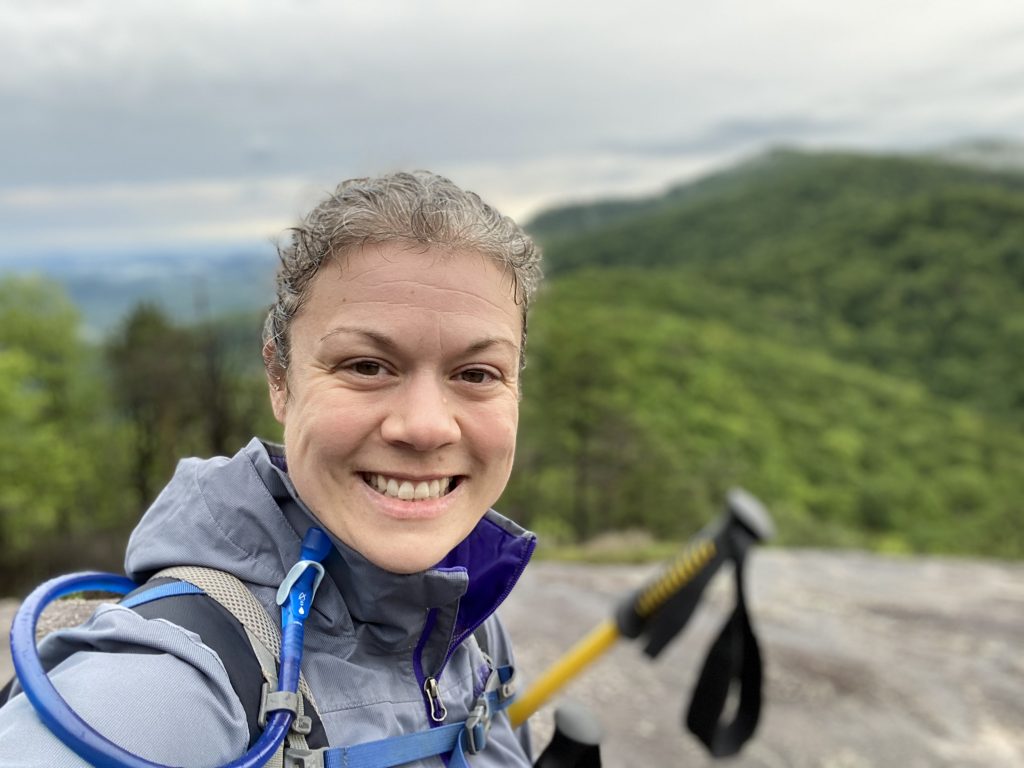
My legs were fine, but starting to feel tired. The way down had some difficult footing, so we had to go slow in certain areas. We stopped to admire Governors Rock one more time:

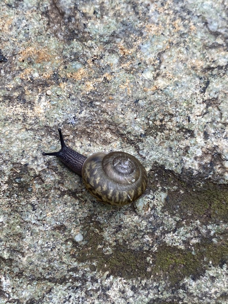
The way down, carefully my trekking poles, wasn’t bad, and we stopped fewer times. I did have to stop when I saw I almost crushed this little guy:

And naturally, we had to stop to admire the many waterfalls:
Recommend: Highly recommend–this was beautiful, challenging, and well worth all the elevation gain. I’d love to see it in the spring and fall, and maybe try a few of the connecting trails too. There are also cabins nearby that could be fun to rent with the family for a weekend getaway.

Maps:
I stopped my watch during our snack break, so I have the ascent and descent in separate entries.
Have you been to Table Rock State Park?
Next up… our adventure in Georgia!
Leave a Reply